What is recorded here
In low-lying, wet pasture, cut by land drains and watercourses. A ring-barrow (LI023-268----) lies 4m to SW and a ring-barrow (LI023-269----) lies 110m to ESE. Not depicted on OSi historic maps. Identified as a small, circular-shaped cropmark by the Bruff aerial photographic survey in 1986 (Bruff 249.01: AP 4/3706). Monument is visible as a suboval-shaped cropmark (11m NE-SW; 10m NW-SE) on OSi orthoimage taken 2005-2012, on Digital Globe orthophoto taken 2011-2013 and on Google Earth orthoimage taken 25/03/2017.
See attached Google Earth orthoimage 25/03/2017 and Bruff aerial survey image labelled Bruff 249.01.
Compiled by: Alison McQueen and Vera Rahilly
Date of upload: 14 September 2020
A ring-barrow, likely dating to the Early Bronze Age (c. 2500–1500 BCE), commonly used as a single burial monument. Its presence indicates a wider pattern of Bronze Age funerary activity in the region, though its specific significance remains unclear due to limited documentation.
The monument record does not grant public access. Check the route and ask the landowner before entering private land.
- What survives
- Recorded monument
Places near here
 BarrowBarrow, ring-barrow · 15 yd
 Rochestown ChurchChurch · 350 yd
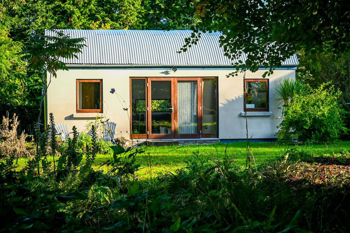 Enclosure in RochestownEnclosure · 445 yd
 Rockstown Castle (in ruins)Castle, tower house · 1040 yd
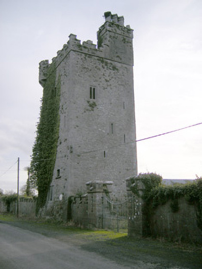 Williamstown Castlecastle/fortified house · 1235 yd
 Ballynagarde Ho.Castle, tower house · 1380 yd
 ToberauillinSpring · 1.0 mi
 Skool HillMountain / peak · 1.4 mi
 Banoge's WellSpring · 1.7 mi
 Carnane RockNamed rock · 1.8 mi
 Wych ElmWych Elm · 1.9 mi
 Grange Stone CircleArchaeological place · 4.2 mi