What is recorded here
On poorly drained reclaimed grassland, one of a group of three barrows (LI024-225-/339----). The site is not depicted on historic OSi maps. Visible on Digital Globe orthoimage taken 2011-2013. The ring-barrow is clearly visible on the most recent Google Earth orthoimage taken 18/11/2018.
See attached Google Earth orthoimage
Compiled by: Caimin O'Brien based on details provided by Edmond O’Donovan
Date of upload: 15 September 2020
Ring-barrow, likely dating to the Early Bronze Age. Its presence suggests a local funerary tradition and may indicate a broader but now largely erased prehistoric landscape of burial monuments.
The monument record does not grant public access. Check the route and ask the landowner before entering private land.
- What survives
- Recorded monument
Places near here
 BarrowBarrow, ring-barrow · 493 yd
 Clashatloe, OutlinedEnclosure · 941 yd
 Pallas MoatCastle, motte · 1637 yd
 (Site of) CastleCastle, unclassified · 1695 yd
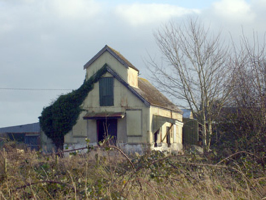 Race Creamerycreamery · 1.1 mi
 Aglishcormick Grave YardChurch · 1.2 mi
 KnockseefinMountain / peak · 1.2 mi
 St. Patrick's WellSpring · 1.7 mi
 Kilteely HillMountain / peak · 2.1 mi
 ToberagaddySpring · 2.3 mi
 Flat cemetery in Knockainy WestFlat cemetery · 6.1 mi
 Ballinvreena LoopVisitor information · 11 mi