
What is recorded here
Ring-barrow described in 1943 as following; 'In the north-east corner of the same field as the above monument [LI032-103----] is a small barrow. It consists of a very low outer bank inside which there is a fosse. Both are continuous. In the centre is a very low mound, The overall diameter is 24' [7.3m]' (O'Kelly 1942-3, 171). No surface remains visible today on Digital Globe aerial photograph.
Compiled by: Caimin O'Brien
Date of upload: 24 February 2020
A Neolithic ring-barrow, dating to approximately 3000–2500 BCE, characterized by a low outer bank and an internal fosse. Such monuments are significant as early funerary and ceremonial structures, reflecting burial practices and social organization in Neolithic Ireland.
The monument record does not grant public access. Check the route and ask the landowner before entering private land.
- What survives
- Recorded monument
Places near here
 RoadRoad, road/trackway · 1116 yd
 St Bridgets WellHoly well · 1447 yd
 Enclosure in BallinloughEnclosure · 1542 yd
 Castle (in ruins)Castle, unclassified · 1.0 mi
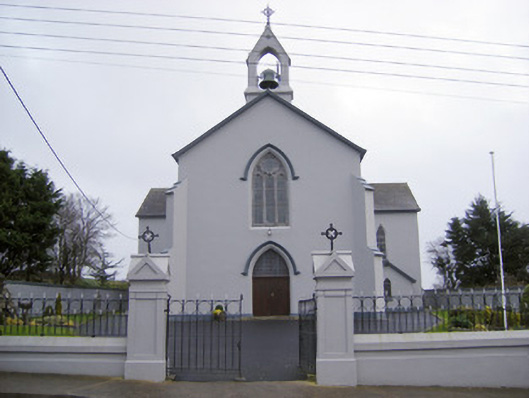 Catholic Church of the Sacred Heartchurch/chapel · 1.2 mi
 Kilteely HillMountain / peak · 1.5 mi
 Ballynamona Castle (Site of)Castle, unclassified · 1.6 mi
 St. Patrick's WellSpring · 1.7 mi
 Flat cemetery in Knockainy WestFlat cemetery · 3.3 mi
 KnockseefinMountain / peak · 4.3 mi
 St Patrick's WellSpring · 6.3 mi
 Ballinvreena LoopVisitor information · 8.9 mi
Other information
Photo: Credit not shown in the picture search · Rights wording not checked; contact us if this picture should be removed