What is recorded here
Situated on a slight rise, on a slight E-facing slope, in gently undulating good pasture. Circular area (diam. 7m) enclosed by a broad scarp of earth (ext. H 0.15m). At the base of the scarp is a fosse (Wth 2.7m) and an external bank of earth (Wth 3.1m; int. H 0.3m; ext. H 0.35m). The external bank has been almost entirely removed NE-SE where it is barely visible.
Compiled by: Patrick F. O'Donovan
Date of upload: 21 April 2011
A Neolithic ring-barrow, c. 2500–2000 BCE, representing an early form of burial monument associated with collective or elite interment. Its construction with a fosse and scarp indicates ritual significance and social organisation in the Neolithic community.
The monument record does not grant public access. Check the route and ask the landowner before entering private land.
- What survives
- Recorded monument
Places near here
 Shepherd's FlatWood · 311 yd
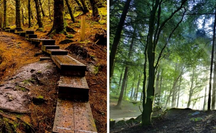 Ewing's WoodWood · 319 yd
 Enclosure in BallygilganEnclosure · 444 yd
 Lissadell Housegate lodge · 662 yd
 IndicatedFairy fort / earthen ringfort · 708 yd
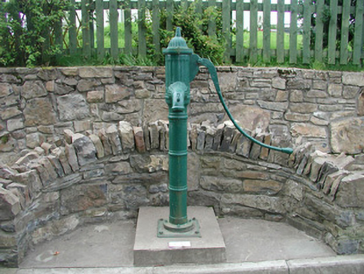 water pumpwater pump · 1493 yd
 Finned PointHeadland · 1614 yd
 Castle (Site of)Castle, unclassified · 1.3 mi
 Drumcliff BayBay · 1.8 mi
 CastleCastle, unclassified · 1.8 mi
 Grave of WB YeatsHeritage attraction · 2.5 mi
 Drumcliff CemeteryGraveyard · 2.5 mi