What is recorded here
Surveyed in 2013 and described by McGuinness (2014, 31) as following: 'Fairly well preserved roughly circular barrow (Diam. 21.5m NE-SW x 19m NW-SE), strikingly formed out of the upper surface of a NE-SW oriented esker which rises towards the SW, so that the monument is on a slope, and comprising a level or slightly domed mound (Diam. 10m x 8.8m) surrounded by a ditch with external bank. Height of apex of mound above ditch ranges from 0.34m on SW side to 1.45m on NE side. Where clearest and particularly massive on SW side, bank is at least as high as central mound, rises 0.50m above the ditch, and is up to 5m in width, being much lower and only 4m wide on the opposite side of the monument; it ranges in height above external ground level from 0.55m on SW side to 1m on NE side. Unlike the high SW side, bank is more like a berm or step from the ditch to the surrounding ground on lower NE side, and is barely apparent on NW and SE sides. Ditch reaches up to 2.2m in width where clearest on NE side. Measurements given for width of bank and, by extension, for the overall diameter of monument should be taken as fairly crude approximations as the site was covered in high grass when surveyed, making it difficult to distinguish between the outer edge of the bank and the surrounding ground. Given its location on a high, narrow esker running NE-SW, ground slopes down steeply to NW and SE, with a magnificent view to N. Frewin Hill is visible to NE. The monument is in a deliberately unplanted area of commercial forestry. There are four other barrows in this townland (WM018-069----; WM018-070----; WM018-107----; WM018-151----), the nearest being c. 500m to ESE'.
Compiled by: Caimin O'Brien based on details provided by David McGuinness.
Date of upload: 23 February 2015
A ring-barrow, likely dating to the Early Bronze Age, associated with a natural esker formation; such barrows are significant as funerary monuments and indicators of early land use and settlement patterns.
The monument record does not grant public access. Check the route and ask the landowner before entering private land.
- What survives
- Recorded monument
Places near here
 Glascarn Househouse · 579 yd
 St. Patricks WellHoly well · 1234 yd
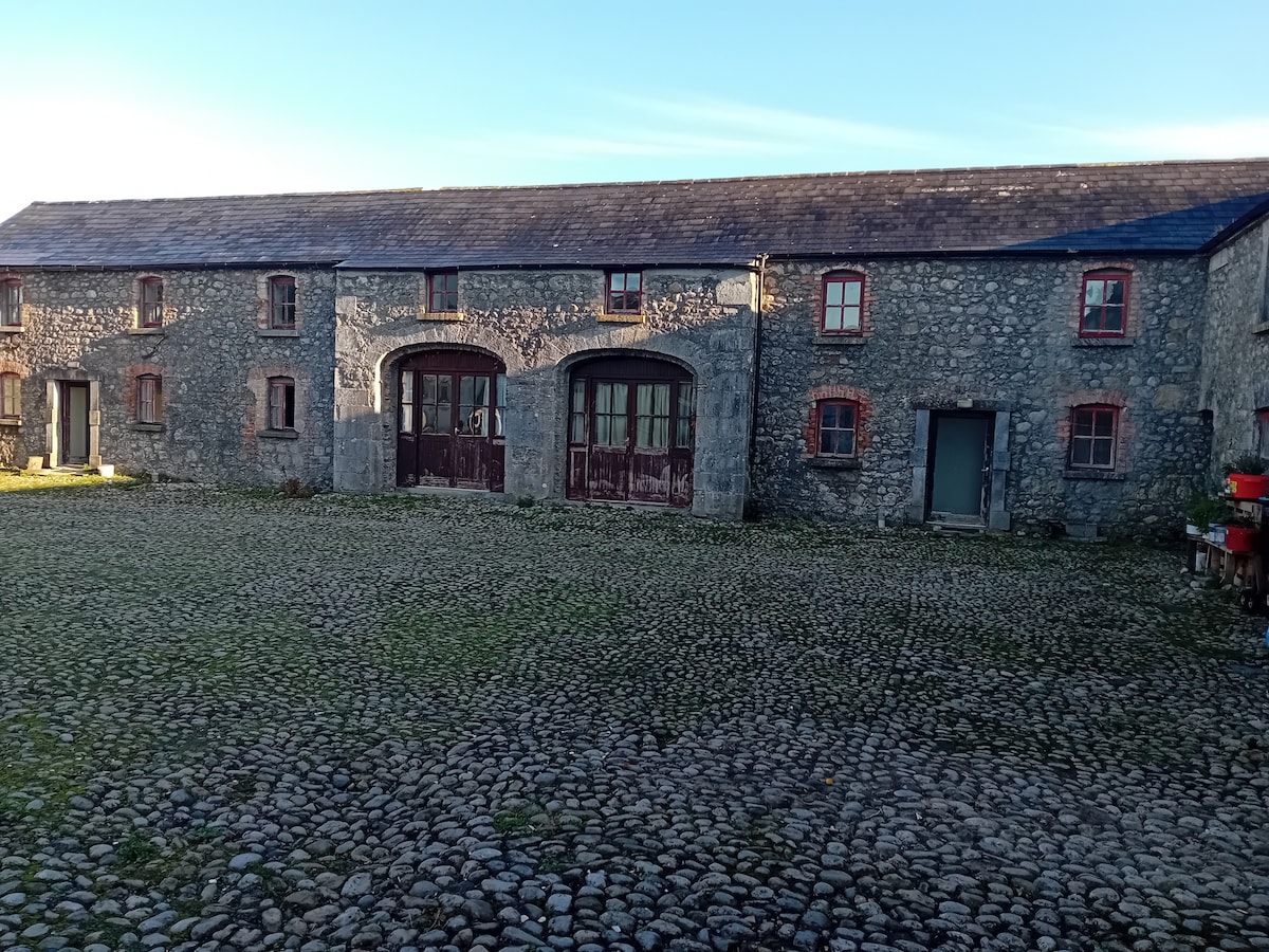 Bawn in BalleagnyBawn · 1325 yd
 OutlinedEnclosure · 1328 yd
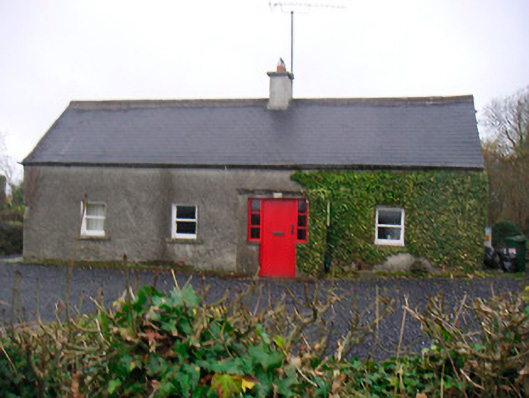 Bushmills Cottagehouse · 1509 yd
 CastleCastle, unclassified · 1580 yd
 WestmeathVisitor information · 1.2 mi
 Ancient Ring FortWood · 1.5 mi
 Hill of UisneachMountain / peak · 4.0 mi
 Carrickphilbin IslandIslet · 4.4 mi
 Baronstown ForestWood · 4.8 mi
 Srudarra IslandIslet · 4.8 mi