What is recorded here
This site is located on a low rise in boggy pasture on the W side of the Ardsheelhane river valley. It is marked on the second edition of the OS map as a small univallate enclosure, and consists of an overgrown sub-circular area, 5.2m N-S x 6.5m E-W, which is enclosed by a fosse and an external bank. Access to the interior is provided by a narrow causeway, 2.3m wide, which crosses the fosse at NE. The entrance gap through the bank is defined by two slabs set on edge. The bank survives best at S, where it measures 1.5m high externally and rises to a maximum height of .85m above the flat-bottomed, 1.2m wide, fosse.
The above description is derived from A. O'Sullivan and J. Sheehan (compilers), 'The Iveragh peninsula: an archaeological survey of South Kerry'. Cork University Press (1996), no. 439. In certain instances the entries have been revised and updated in the light of recent research.
Date of upload: 28 July 2013
A ring-barrow, likely dating to the Early Bronze Age, associated with burial practices in Atlantic Europe. Its location in a river valley suggests possible ritual or strategic significance.
The monument record does not grant public access. Check the route and ask the landowner before entering private land.
- What survives
- Recorded monument
Places near here
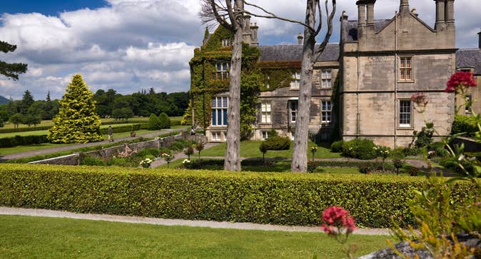 Man-made underground passage in Ardsheelhane WestMan-made underground passage · 222 yd
 Church of the Transfiguration (Kilcrohane)church/chapel · 1.2 mi
 De Gaulle MemorialMonument · 1.3 mi
 Sneem Bridgebridge · 1.3 mi
 Sneem Commemoration PlaqueMemorial · 1.3 mi
 Fulacht fia in Fermoyle (dunkerron South By.)Fulacht fia · 1.5 mi
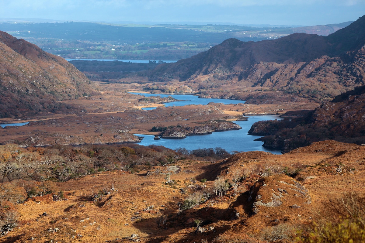 River HillMountain / peak · 2.7 mi
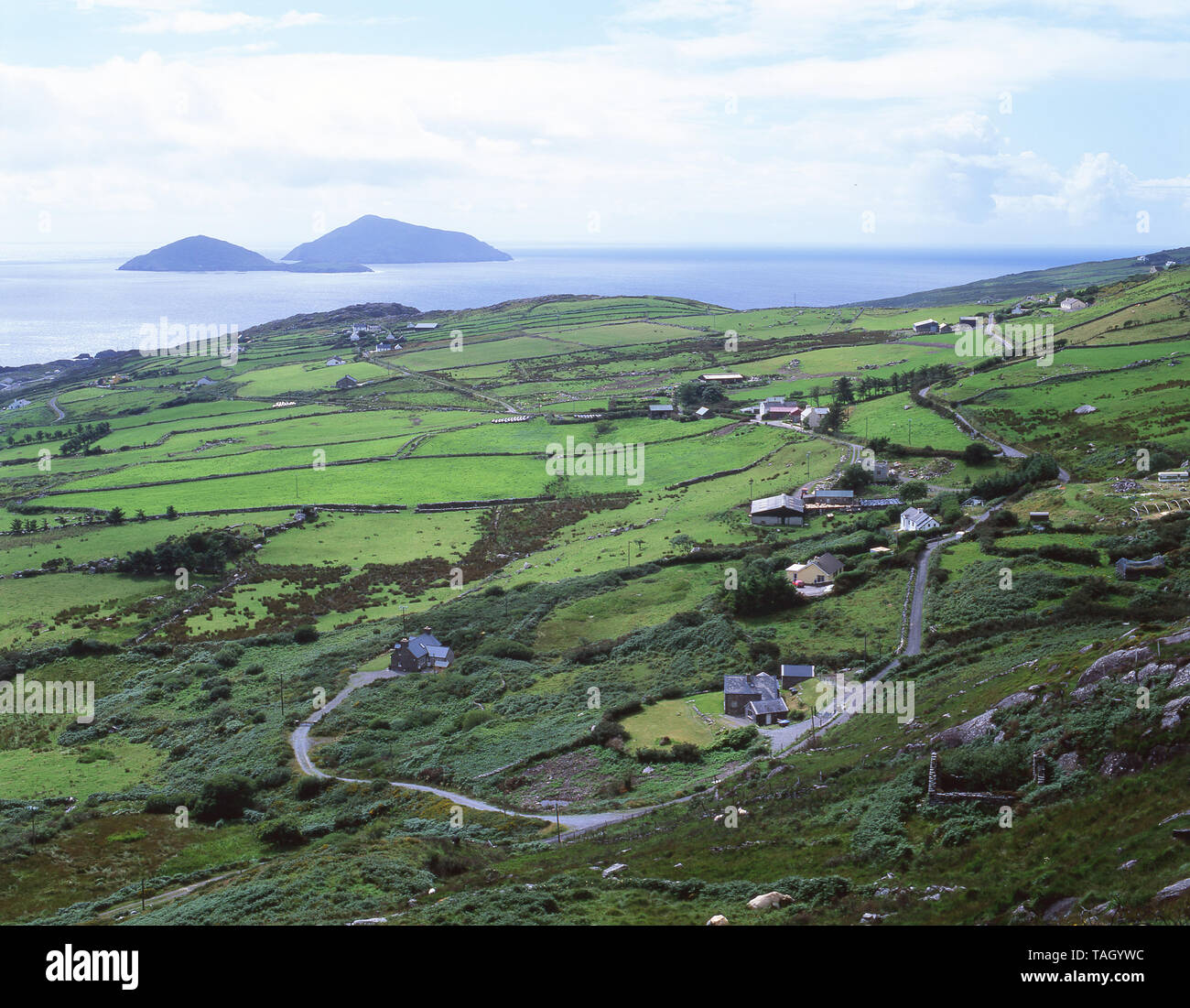 CoomnacroniaMountain / peak · 3.1 mi
 GarinishIslet · 3.5 mi
 Rossdohan IslandIsland · 3.8 mi
 Coral BeachBeach / strand · 4.3 mi
 Ardgroom Pulleen LoopWalking route · 6.8 mi