
What is recorded here
Monument surveyed in 2015 and described by McGuinness (2015, 35) as following: ‘Low domed mound (Diam. 9.0m N-S x 8.3m E-W) with flattish summit, reaching a height of 0.8m at SE where highest over external ground level, with traces of a ditch and external bank on S and possibly SW sides. From the ASI account of…
Read the whole record
From the National Monuments Service (Archaeological Survey of Ireland) record WM009-002
Places near here
Photo credits
- Maker not stated on source page, www.francisyork.com
- Maker not stated on source page, www.dreamstime.com
- National Inventory of Architectural Heritage
- Kmcnamee, Wikimedia Commons · CC BY-SA 4.0
- Maker not stated on source page, getnofilter.com
- Maker not stated on source page, www.flickr.com
- Maker not stated on source page, www.geograph.ie
- Willow, Wikimedia Commons · CC BY 2.5
 CastleCastle, unclassified · 444 yd
Explorer Tom Archerstown Castle is hiding its treasure, which is definitely a biscuit tin full of old coins and regret. William…
 Archerstown GraveyardCemetery · 884 yd
Explorer Tom Archerstown Graveyard in County Westmeath gave up sweets for Lent but kept the headstones, which is a solid trade if…
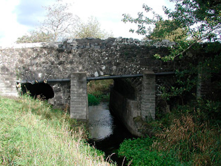 Graulty's BridgeBridge · 1504 yd
Explorer Tom Graulty's Bridge in Mulliganstown would probably put 'Finally Crossed' on its tombstone if it ever got tired of all the…
 Fr Reilly Memorial Park, BrownstownGAA ground · 1569 yd
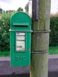 post box1.0 mi
Explorer Tom This post box in Moydrum would spend its lotto win buying a giant velvet cushion to sit on next to the road, because it…
 Fairy fort / ringfort in ClonarneyFairy fort / ringfort · 1.4 mi
Explorer Tom Clonarney’s fort has a tunnel to the pub, but you have to walk through a wet hollow to get there. It’s levelled now, so…
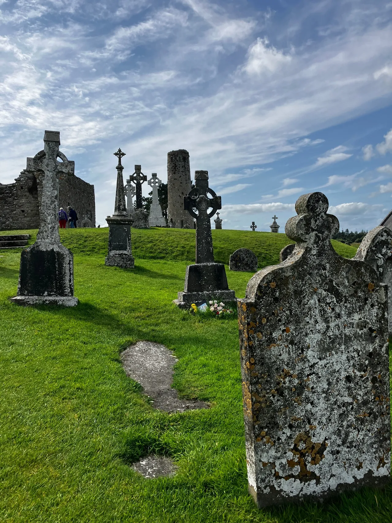 Clonarney CemeteryCemetery · 1.5 mi
Explorer Tom Clonarney Cemetery in County Westmeath does some weird things when nobody is looking, like rearranging its own shadows…
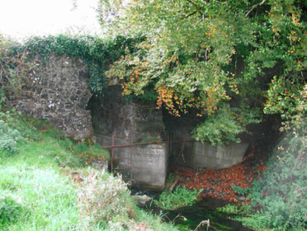 Snipe's BridgeBridge · 1.5 mi
Explorer Tom Snipe's Bridge near Newtown is currently run by a very aggressive terrier who thinks he’s the bridge itself and demands…
 Fairy fort / earthen ringfort in Rathbrack (fore By., Killallon Par.)Fairy fort / earthen ringfort · 1.5 mi
Explorer Tom Fairy fort / earthen ringfort in Rathbrack was built by someone who thought 'subcircular' was a great aesthetic choice…
 Rosmead HouseCountry house · 1.8 mi
Explorer Tom Rosmead House in Cavestown has a secret message carved into its stones that only the wind can read, and apparently it’s…
 Scurlockstown Castle in ruinsCastle, unclassified · 1.9 mi
Explorer Tom Scurlockstown Castle in ruins has a secret talent for making sound effects like a haunted house but with zero…
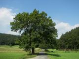 European ash2.2 mi
Explorer Tom European ash in County Meath made a New Year’s resolution to stop dropping branches on cars but has failed…
More archaeology and monuments in County Westmeath · All of County Westmeath

What do you know about this place?Tap to add a comment or ask a question