What is recorded here
Barrow is a barrow, pond barrow in Tully (carbury By., Drumcliff East Ed), County Sligo, Ireland. Hidden from every OS map until a 2013 LiDAR review revealed its bi-vallate shape, the site measures about 45 metres across and sits one metre below the surrounding ground. That depth separates it from ordinary ringfort remains, pointing instead toward pond-barrow or embanked-barrow traditions, though scholars still treat the classification as tentative. A second enclosure adjoins the main feature on its south-east side.
Not indicated on any edition of the OS maps, this possible barrow was discovered in 2013 in the course of a review of LiDAR data where it is visible as a bi-vallate enclosure-like feature (diam. c. 45m). Although the remains bear a superficial resemblance to monuments of the ringfort class, it is to be noted that the inner enclosed area is almost 1m lower than the exterior ground level (pers. comm. Dr Steve Davis, UCD). In consequence, some caution is necessary in regard to classification and the remains could be interpreted as possibly falling within the pond-barrow or embanked barrow traditions. This interpretation is purely tentative and a proper elucidation of the monument must await further investigation. A second enclosure (SL008-200----) adjoins it immediately to the SE.
The attached image is uploaded courtesy of Dr. Steve Davis, UCD.
Compiled by: Paul Walsh
Date of upload: 08 November 2013
The monument record does not grant public access. Check the route and ask the landowner before entering private land.
- What survives
- Recorded monument
Places near here
 Enclosure in Tully (carbury By., Drumcliff East Ed)Enclosure · 56 yd
 Tober ColumbkilleArchaeological place · 288 yd
 Flour millMill, unclassified · 1546 yd
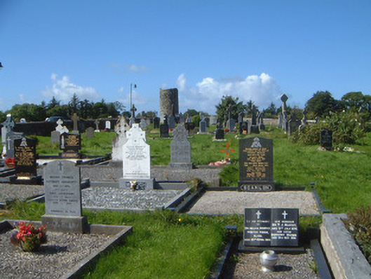 graveyard/cemeterygraveyard/cemetery · 1754 yd
 Drumcliff CemeteryGraveyard · 1.0 mi
 Grave of WB YeatsHeritage attraction · 1.0 mi
 CastleCastle, unclassified · 1.5 mi
 Castle (in Ruins)Castle, unclassified · 2.2 mi
 European BeechEuropean Beech · 2.5 mi
 Kings MountainMountain / peak · 2.5 mi
 Floods WoodForest · 2.6 mi
 Finned PointHeadland · 3.0 mi