What is recorded here
In wet, low-lying pasture. A circular, saucer-shaped depression (diam. 12.8m; D 0.45m) enclosed by a wide, low bank of earth and stone (Wth 5.95m; H 0.45m) with an external fosse (Wth 3.6m; D 0.5m). From SSW-W-WNW the outer face of the bank and the fosse have been modified and incorporated into a field boundary. From E-S-SW the fosse has been infilled and its outline is barely identifiable. The original entrance is not recognisable.
Compiled by: Patrick F. O'Donovan
Date of upload: 26 August 2011
Pond barrow, likely dating to the Early Bronze Age. This type of monument is significant as an example of early funerary and ritual practices associated with water in Irish prehistory.
The monument record does not grant public access. Check the route and ask the landowner before entering private land.
- What survives
- Recorded monument
Places near here
 Oldtown DemesneForest · 610 yd
 LF014-105---- : Ringfort - rath : OLDTOWNArchaeological place · 719 yd
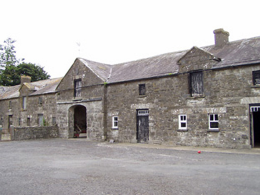 Oldtown Houseoutbuilding · 796 yd
 Oldtown CopseWood · 810 yd
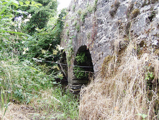 bridgebridge · 815 yd
 FortsFairy fort / earthen ringfort · 1057 yd
 Bawn in LissardowlanBawn · 1.5 mi
 CastleCastle, Anglo-Norman masonry castle · 1.5 mi
 National Famine WayWalking route · 4.1 mi
 Saint Mel's CathedralCathedral · 4.7 mi
 First World War MemorialMemorial · 4.7 mi
 Graveyard in Curry (ardagh By., Coolamber Ed)Graveyard · 5.4 mi