
What is recorded here
On the summit of Knockmonaster Hill overlooking Fore Benedictine Abbey (WM004-035010-). Described by McGuinness (2019, 51) as following; 'It comprises an annular bank, very slightly subcircular, which surrounds a sunken, dished interior (Diam. (overall) c. 11.5m N- x c. 11.10m E-; Diam. (interior) 6.5m N- x 5.6m E-).…
Read the whole record
From the National Monuments Service (Archaeological Survey of Ireland) record WM004-035034
Places near here
Photo credits
- JohnArmagh, Wikimedia Commons · Public domain
- Willow, Wikimedia Commons · CC BY 2.5
- N Chadwick, Wikimedia Commons · CC BY-SA 2.0
- Marathon, Wikimedia Commons · CC BY-SA 2.0
- Maker not stated on source page, commons.wikimedia.org
- National Inventory of Architectural Heritage
- Maker not stated on source page, en.wikipedia.org
- Maker not stated on source page, tr.pinterest.com
- Maker not stated on source page, fr.pinterest.com
- Oliver Dixon, Wikimedia Commons · CC BY-SA 2.0
- Maker not stated on source page, www.youtube.com
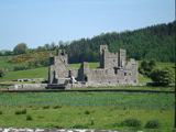 Fore AbbeyReligious house, Benedictine monks · 140 yd
Explorer Tom Fore Abbey had an unlikely celebrity friend who was actually a Norman lord named Hugh de Lacy, which is a weird mix.…
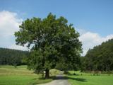 European ash303 yd
Explorer Tom European ash in County Westmeath would do absolutely fine on a reality show because it never panics, just stands there…
 North West GateVisitor attraction · 420 yd
Explorer Tom The North West Gate is haunted by a tragic love story that went horribly wrong right next to it. The couple still…
 Font in ForeFont · 456 yd
Explorer Tom Font in Fore would tell the place that replaced it to stop hogging all the attention at the door. It’s…
 St. Feighins Church in ruinsChurch · 457 yd
Explorer Tom St. Feighins Church in ruins would describe itself as ‘a victim of circumstance with excellent marketing skills’ to any…
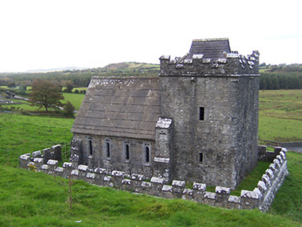 Greville-Nugent MausoleumMausoleum · 501 yd
Explorer Tom The Greville-Nugent Mausoleum in Fore is feuding with the next village over something daft like who invented the Gothic…
 Anchorites ChurchChurch · 502 yd
Explorer Tom Anchorites Church in Fore hosted a dance that went too far because the floor was made of pure stone and nobody wore…
 Memorial stone in ForeMemorial stone · 623 yd
Explorer Tom Memorial stone in Fore is missing because a local man swore he invented it in 1992. It used to sit over a chapel door…
 St. Marys Church in ruinsChurch · 637 yd
Explorer Tom St. Marys Church in Fore is where a priest lost a bet about how much pie he could eat before midnight. The ruins are…
 South East GateVisitor attraction · 700 yd
Explorer Tom The South East Gate has very strong opinions on modern buildings and thinks they look like cardboard boxes made by…
 Ben of ForeMountain / peak · 997 yd
Explorer Tom Ben of Fore has a tunnel right through the middle that leads directly to the nearest pub, I’m certain. It’s a mountain…
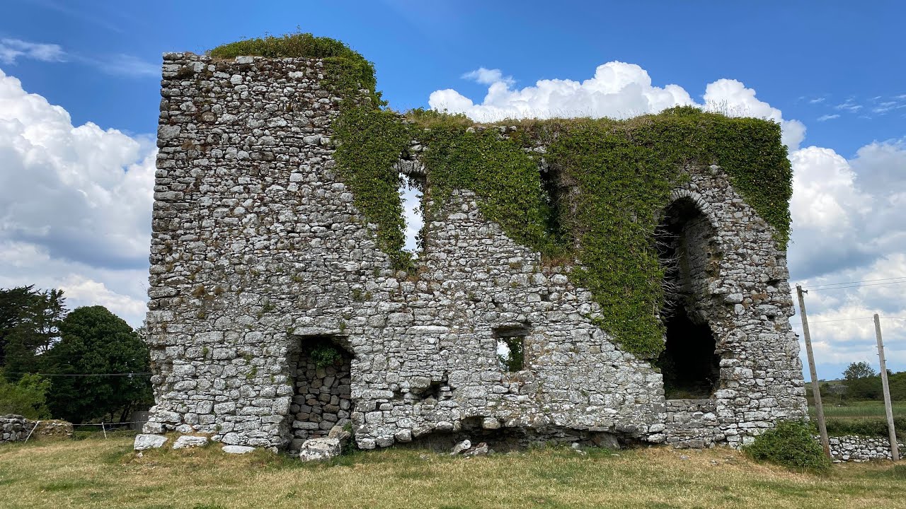 Annagh CastleCastle, unclassified · 1.9 mi
Explorer Tom Annagh Castle is an unclassified mystery that refuses to show up on most maps, probably being shy about its age. A cow…
More archaeology and monuments in County Westmeath · All of County Westmeath

What do you know about this place?Tap to add a comment or ask a question