What is recorded here
Located on the summit of a rise in a fairly level landscape, and just N of the graveyard of Trevet church (ME038-017----). This is depicted as a circular embanked feature described as a ‘Mound’ in gothic lettering on the 1836 edition of the OS 6-inch map and as a hachured feature on the 1908 edition. It is described in 1969 (SMR file) as a grass and scrub-covered oval mound (dims 16.5m NE-SW; 11.5m NW-SE; H 1.9m at SW to 2.4m at NE) with mature deciduous trees. There is no visible fosse or outer bank and it has a rounded top.
The above description is derived from the published 'Archaeological Inventory of County Meath' (Dublin: Stationery Office, 1987). In certain instances the entries have been revised and updated in the light of recent research.
Compiled by: Michael Moore
Date of upload: 10 July 2007
Amended: 13 April, 2022
The monument record does not grant public access. Check the route and ask the landowner before entering private land.
- What survives
- Recorded monument
Places near here
 Enclosure in TrevetEnclosure · 59 yd
 Enclosure in GarretstownEnclosure · 1291 yd
 mill (water)mill (water) · 1.8 mi
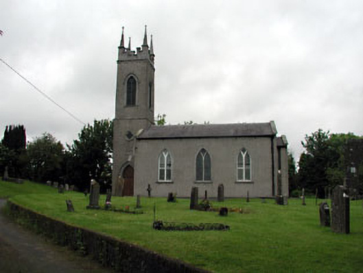 Saint Seachnall's Church (Dunshaughlin)church/chapel · 1.9 mi
 Killeen CastleCastle, tower house · 2.3 mi
 Clusker Wood SouthWood · 2.4 mi
 The Pond WoodWood · 2.4 mi
 CastleCastle, motte · 2.9 mi
 Candle HillMountain / peak · 3.2 mi
 Emerald ParkHeritage attraction · 3.3 mi
 Battle of Tara Hillbattle · 3.9 mi
 Battle of Tara (Ireland)Major battlefield · 3.9 mi