What is recorded here
In a coniferous plantation, on the S slopes of the Ox Mountains and c. 50m W of a stream. An oval earthen mound (7m N-S; 8.1m E-W; H 1m) with a central rectangular hollow (2.2m N-S; 4m E-W), the sides of which are revetted by drystone-walling. A few trees have been planted on the mound. There is a rath (SL031-018002-) immediately to S.
The above description is derived from the published 'Archaeological Inventory of County Sligo' compiled by Ursula Egan, Elizabeth Byrne, Mary Sleeman with Sheila Ronan and Connie Murphy (Dublin Stationery Office, 2005).
Date of upload: 18 January 2008
A Neolithic or Bronze Age barrow; its oval shape and central hollow suggest a funerary or ritual function typical of early prehistoric burial mounds. Its location within a broader landscape of natural features may indicate a wider ceremonial significance.
The monument record does not grant public access. Check the route and ask the landowner before entering private land.
- What survives
- Recorded monument
Places near here
 Tawnyart WoodWood · 468 yd
 New WoodWood · 874 yd
 IndicatedFairy fort / stone ringfort · 1554 yd
 CaltraghArchaeological place · 1.1 mi
 Mass RockNamed rock · 1.5 mi
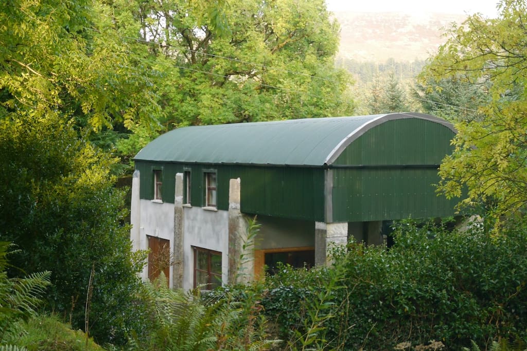 CloonacoolMountain / peak · 2.1 mi
 Castle Carragh in RuinsCastle, unclassified · 2.3 mi
 Castle (Site of)Castle, unclassified · 3.2 mi
 FriaryReligious house, Franciscan Third Order Regular · 3.3 mi
 Lough Talt TrailVisitor information · 3.6 mi
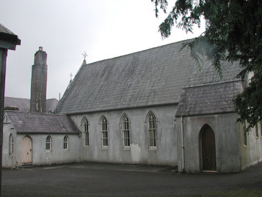 Banada Abbey Conventchurch/chapel · 3.8 mi
 MeenamaddoMountain / peak · 4.0 mi