What is recorded here
Barrow is a circular grass-covered mound in County Meath, Ireland, standing 1.5 to 1.8m tall with a shallow quarry cut into its top. It sits on a slight natural ridge near the Tolka River, where people may have buried the dead or marked territory before maps existed. The mound still holds that old purpose, waiting for someone to walk around it and wonder what it protected.
Located on a slight NW-SE natural ridge that is unconnected with the NW-SE defunct railway line from Dublin to Athboy and Navan that is immediately to the NE. A NW-SE section of the Tolka River is c. 100m to the NE. This is depicted as a small circular feature described as a ‘Fort’ on the 1836 edition of the OS 6-inch map and as a hachured feature on the 1908 edition. It is a circular grass-covered mound (diam. of base 22m ENE-WSW; H 1.5-1.8m) that has a grass-covered quarry (diam. of top 8-9m; max. D 1.1m) on top. There are traces of a fosse (Wth of base c. 2m; ext. D 0.3m) at SW, and a straight outer bank at SW (Wth of base 7m; ext. H 0.9m; L c. 15m) and NW (L c. 20m) that might be unconnected with the barrow.
The above description is derived from the published 'Archaeological Inventory of County Meath' (Dublin: Stationery Office, 1987). In certain instances the entries have been revised and updated in the light of recent research.
Date of upload: 10 July 2007
Amended: 22 November 2021
A Neolithic mound barrow; its alignment and location suggest ritual or funerary significance within a prehistoric landscape.
The monument record does not grant public access. Check the route and ask the landowner before entering private land.
- What survives
- Recorded monument
Places near here
 Mill HillArchaeological place · 3 yd
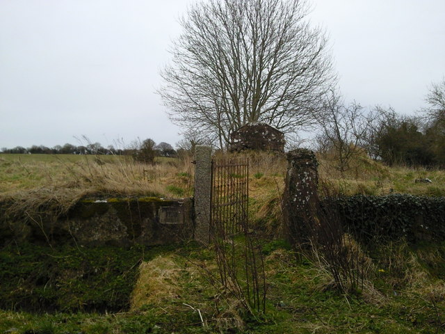 RuinChurch · 373 yd
 Font in RathreganFont · 408 yd
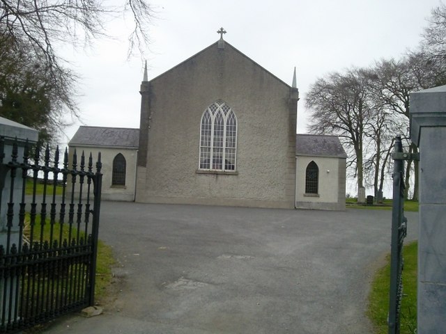 Catholic Church of the Assumptionchurch/chapel · 410 yd
 Lismahon 1798 MemorialMonument · 1634 yd
 CastleCastle, motte · 1.6 mi
 Site of Old CastleCastle, unclassified · 1.7 mi
 Saint Oliver Plunkett 1625-1681Memorial · 3.8 mi
 Caulstown Christmas Tree FarmForest · 4.1 mi
 Hanwood GardensHeritage attraction · 4.2 mi
 MullaghMountain / peak · 4.4 mi
 Ash HillMountain / peak · 4.5 mi