What is recorded here
A low rise of ground indicates site of levelled bowl barrow. Situated on top of high ground with good views of surrounding countryside from E-S-W. Earthwork depicted on Larkin's 1808 map of County Westmeath (NLI, MS 46,580). Monument visited by ASI in 1980 and described as 'small disturbed bowl barrow' which consisted of 'a low circular mound of earth and stones, now much disturbed. The mound is approx. 9m in diam. and now stands 1.25m high. A number of small stones lie on the disturbed surface of the mound' (SMR File, 23/10/1980).
In 2012 the monument was surveyed, re-classified as a mound-barrow and described as following: ‘Roughly circular and apparently flat-topped mound on low eminence with excellent views in all directions except to N, where higher ground rises a few fields away; ground drops away sharply to W and SW, but only slightly to N, E and SE. Site is in a small, disused triangular patch of land at WNW edge of large field that has been heavily ploughed in recent years to within c. 2m of mound. This patch of land, overgrown with gorse and brambles close to the mound, is matted with long, thick, ungrazed grass, and part of the mound is covered by a pile of disused fencing and other rubbish, so that its edges and upper surface cannot be clearly seen or felt. As such, its diameter and height can only be crudely estimated as 9m N‐S x 8.5m E-W and up to 1.1m respectively, and, although there appears to be no ditch surrounding it, faint traces of one might not be currently discernible. Frewin Hill (WM011-133----) is clearly visible across Lough Owel to SW and Knockdrin (WM012-183----) to SE’ (McGuinness 2012, 33).
Compiled by: Caimin O'Brien
Date of revised upload: 20 February 2015
Bowl barrow, likely dating to the Early Bronze Age. Its location on high ground and depiction on an 1808 map suggest it was a significant funerary and possibly ceremonial site in the prehistoric landscape.
The monument record does not grant public access. Check the route and ask the landowner before entering private land.
- What survives
- Recorded monument
Places near here
 Partially indicatedFairy fort / earthen ringfort · 351 yd
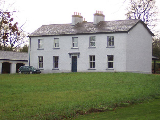 Portnashangan Househouse · 364 yd
 OutlinedFairy fort / earthen ringfort · 433 yd
 Scragh Bog Nature ReserveNature reserve · 1055 yd
 ‘Abbey’Church · 1332 yd
 CastleCastle, motte · 1450 yd
 Church IslandIsland · 1.4 mi
 Lady's IslandWood · 2.0 mi
 Srudarra IslandIslet · 2.1 mi
 Nugent's CastleCastle · 2.4 mi
 Saint Brigid's WellSpring · 2.7 mi
 Bridge Memorial (Kenna)Memorial · 3.0 mi