What is recorded here
Situated in low-lying wet grassland. Annotated as ‘Bull Ring’ on the 1837 OS Fair Plan map. A small sub-rectangular shaped platform (diam. 9m N-S; 8.1m E-W) defined by a low earthen bank (Wth 0.5m; H 0.25m) and narrow shallow external fosse (Wth 0.3m). At the centre of the interior is a mound of earth and stone (diam. 3.5m N-S; 2.7m E-W) with a fallen, grass-covered stone resting on it (WM010-022001-).
Compiled by: Frank Coyne and Caimin O'Brien
Date of upload: 9 June 2017
Mound barrow, likely dating to the Early Bronze Age. Its annotation as a 'Bull Ring' suggests possible ritual or ceremonial significance, though this remains unverified.
The monument record does not grant public access. Check the route and ask the landowner before entering private land.
- What survives
- Recorded monument
Places near here
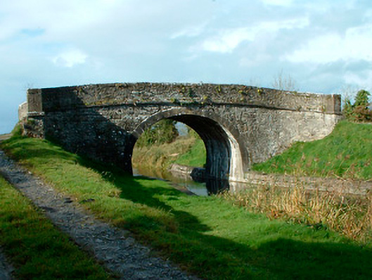 bridgebridge · 721 yd
 OutlinedFairy fort / earthen ringfort · 1036 yd
 Kelly's Bridgebridge · 1226 yd
 Partially hachuredFairy fort / earthen ringfort · 1497 yd
 Site of CastleCastle, unclassified · 1.0 mi
 Bawn in EmperBawn · 2.2 mi
 Common LimeCommon Lime · 2.3 mi
 Abbeyshrule AbbeyRuins · 2.4 mi
 European BeechEuropean Beech · 2.6 mi
 Goldsmith Birthplace, PallasVisitor information · 4.4 mi
 Craft WorkshopHeritage attraction · 4.5 mi
 Guest ServicesVisitor information · 4.5 mi