What is recorded here
Straddling summit of a slight E-W orientated ridge, in gently undulating pasture, on Oyster Island between Coney Island and Rosses Point. Originally circular but now consists of a roughly D-shaped, flat-topped mound (dims. top 6m N-S; 5m E-W; base 12.2m N-S; 11.6m E-W; H 1.45m) of earth and stone. There is no fosse visible at ground level. The mound is best preserved NW-SE where it has regular gently sloping sides. From SW-NW the edge of the mound has been removed leaving a steep modern crescent shaped cut. From SE-SW the edge of the mound has been eroded to form a level terrace (max. Wth 1m) half way down the side.
Compiled by: Patrick F. O'Donovan
Date of upload: 21 April 2011
A Neolithic mound barrow; significant as a rare surviving example of early burial monuments on Oyster Island, reflecting prehistoric funerary practices in the northwest of Ireland.
This remains an important historical record, but the official description says the monument is no longer visible or has been destroyed. The monument record does not grant public access. Check the route and ask the landowner before entering private land.
- What survives
- No visible remains or recorded as destroyed
Places near here
 Oyster IslandIslet · 49 yd
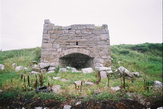 kilnkiln · 220 yd
 Oyster Island Lighthouselighthouse · 342 yd
 Enclosure in Oyster IslandEnclosure · 348 yd
 Waiting on ShoreMemorial · 446 yd
 Enclosure in Rosses UpperEnclosure · 563 yd
 Rosses Point BeachBeach / strand · 944 yd
 Coney IslandIsland · 1675 yd
 Doonanpatrick IslandIslet · 1.2 mi
 Drumcliff BayBay · 1.7 mi
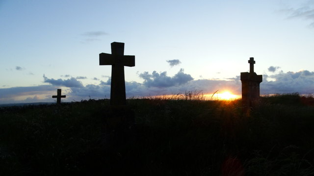 Graveyard in KillaspugbroneGraveyard · 1.9 mi
 Finned PointHeadland · 2.2 mi