What is recorded here
Barrow is a barrow (mound barrow) in Milltown (Clogher parish), County Tipperary, Ireland. It stands at the north-east end of a north-east to south-west ridge in flat, poorly drained countryside where views reach in every direction. The round-topped mound rises three metres, though its north-east and south-west sides have been quarried into and dense bushes now cover much of it. Two field boundaries cut across the mound, one running east-west at the north and the other running north-south at the west edge.
At the NE end of NE-SW ridge in flat poorly drained countryside with good views in all directions. A poorly preserved, heavily overgrown round-topped mound (H 3m), the NE and SW sides of which have been quarried into. It was difficult to examine due to the dense cover of bushes, however, there was no enclosing feature visible. A field boundary intersects the mound at N on an E-W axis, with a second field boundary running across the W edge of the mound on a N-S axis. It is not marked on the 1st (1840) ed. OS 6-inch map.
Compiled by: Jean Farrelly
Date of upload: 26 August 2011
A Neolithic round barrow, likely dating to the Early to Middle Bronze Age. Its location on a prominent ridge suggests it may have had ceremonial or territorial significance, though its poor preservation limits detailed interpretation.
The monument record does not grant public access. Check the route and ask the landowner before entering private land.
- What survives
- Recorded monument
Places near here
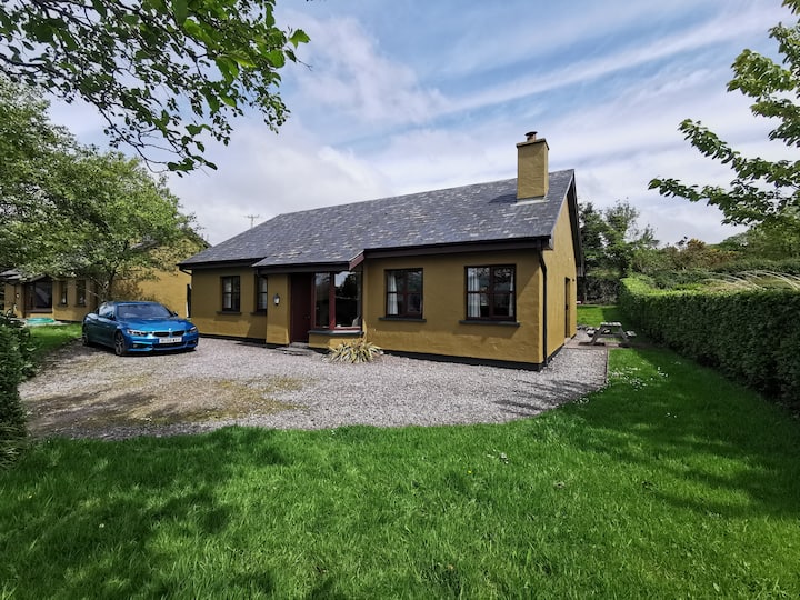 Enclosure in Milltown (clogher Par.)Enclosure · 386 yd
 Milltown CastleCastle · 792 yd
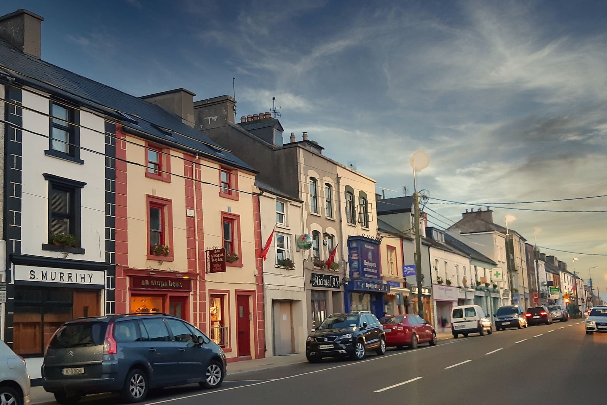 IndicatedFairy fort / earthen ringfort · 982 yd
 Clogher Church (in ruins)Church · 1503 yd
 Clogher CastleCastle · 1601 yd
 RoadRoad, road/trackway · 1651 yd
 Clonoulty HillMountain / peak · 1.7 mi
 Drum WoodWood · 2.9 mi
 Killough Hill (site of)Mountain / peak · 3.7 mi
 Cormackstown Heritage CentreMuseum · 4.3 mi
 Wych ElmWych Elm · 5.1 mi
 Lár na PáirceMuseum · 6.7 mi