What is recorded here
On the W side of Tifeaghna River in gently rolling grassland with good views in all directions. A cone-shaped mound (basal diam. c. 18m; top diam. 10m; H c. 1.6m) with large stones protruding in areas eroded by catttle. It is very overgrown with scrub.
Compiled by: Jean Farrelly
Date of upload: 7 February 2018
Mound barrow, likely dating to the Early Bronze Age. Its location and form suggest it was a burial monument, possibly associated with early agrarian communities in the region.
The monument record does not grant public access. Check the route and ask the landowner before entering private land.
- What survives
- Recorded monument
Places near here
 IndicatedFairy fort / stone ringfort · 538 yd
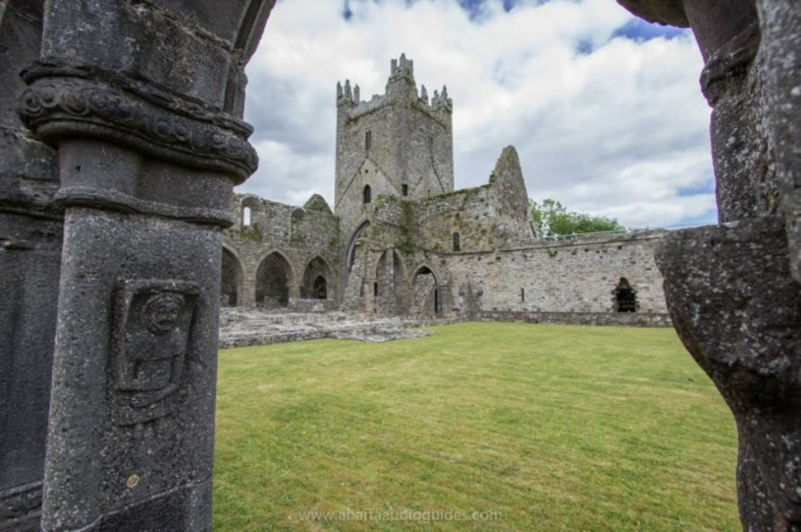 Church in Tifeaghna (browne)Church · 852 yd
 Lodgepark Housefarmyard complex · 998 yd
 TobernapeastiaHoly well · 1343 yd
 CastleCastle, unclassified · 1554 yd
 Balleen Castle (ruins)Castle · 1555 yd
 The PondsForest · 1.3 mi
 Emma Jane Browne-ClaytonMemorial · 1.4 mi
 Red horse-chestnutRed horse-chestnut · 1.4 mi
 Freshford LoopWalking route · 1.5 mi
 Clomantagh HillMountain / peak · 3.6 mi
 Anker's IslandIsland · 5.3 mi