What is recorded here
Located towards the bottom of a NW-facing fold on a general NE-facing slope overlooking Lough Melvin. This is a grass-covered circular mound (diam. 11m; H 0.8m) which is slightly lower at the centre than the perimeter. The ceremonial enclosure (LE008-004001-) is c. 90m to the S and a ring-barrow (LE008-003----) is c. 35m to the E.
The above description is derived from 'The Archaeological Inventory of County Leitrim' compiled by Michael J. Moore (Dublin: Stationery Office, 2003). In certain instances the entries have been revised and updated in the light of recent research.
Date of upload: 23 September 2008
Mound barrow, likely dating to the Early Bronze Age. Its location and form suggest a funerary function, typical of ritual landscapes associated with early Irish burial practices.
The monument record does not grant public access. Check the route and ask the landowner before entering private land.
- What survives
- Recorded monument
Places near here
 Big FortCeremonial enclosure · 155 yd
 Church in DerrynahimmirkChurch · 1109 yd
 Saddle HillMountain / peak · 1544 yd
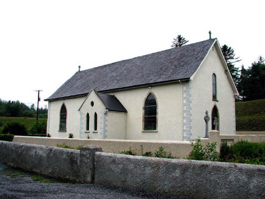 Saint Aidan's Catholic Churchchurch/chapel · 1.3 mi
 Mass-rock in DerrynahimmirkMass-rock · 1.4 mi
 Fowley's FallsPicnic place · 1.5 mi
 Giant's GraveArchaeological place · 2.2 mi
 Dough MountainMountain / peak · 2.6 mi
 Kilroosk RockNamed rock · 2.6 mi
 Ross PointHeadland · 2.9 mi
 Ashisland WoodForest · 4.3 mi
 Sally IslandIslet · 4.4 mi