What is recorded here
In undulating grassland, located on top of a low ridge, close to the break of slope on the N side, where ground falls away steeply. The elevated position provides extensive views. The Ballygawley Mountains loom on the near horizon at NW−NE, with gaps in their range allowing views of Knocknarae at NW and the Dartrys to N. There are distant views of Kesh Corann at S, Knocknashee at SSW and the Ox Mountains at SW.
Compact circular mound (7m N−S; 6m 6−W; H 1.15m at N, 0.7m at S) with a domed profile, slightly flattened on top. The N slope is higher, and somewhat more broadly slumped, enhanced by the natural fall of ground. The mound appears to be largely earthen, but medium to large-sized stones protrude in parts. It is grass-covered and a single sycamore tree grows on top. According to local information, this mound was investigated in the 1920s by Henry Morris (pers. comm. M. A. Timoney), but the results of this investigation were never published.
There is a portal tomb (SL021-058----) 135m to N, and an embanked enclosure (SL021-051----) 325m to WSW.
Attached images:
SL021-102----_01.JPG viewed from NW
SL021-102----_02.JPG Viewed from S, with Ballygawley Mountains in the background
Revised by: Jane O'Shaughnessy
Date of revision: 27 November2018
A Neolithic mound barrow; dates to the early to middle Neolithic period (c. 4000–3000 BCE). Its elevated position suggests ritual or ceremonial significance, typical of Neolithic funerary monuments in the landscape.
The monument record does not grant public access. Check the route and ask the landowner before entering private land.
- What survives
- Recorded monument
Places near here
 Giants GraveArchaeological place · 152 yd
 Grave Yd.Graveyard · 289 yd
 Cross in KilrossCross · 358 yd
 CastleCastle, motte · 674 yd
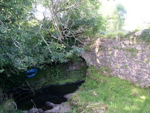 Lurgan Bridgebridge · 1165 yd
 Castle (in Ruins)Castle, tower house · 1293 yd
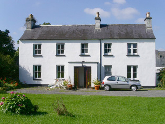 Arnasbrack Househouse · 1298 yd
 Field MapleField Maple · 2.1 mi
 European ashEuropean ash · 2.5 mi
 Battle of Collooneybattle · 3.2 mi
 Teeling MonumentMemorial · 3.2 mi
 Slishwood Island WestIslet · 3.3 mi