What is recorded here
In flat poorly drained pasture on N side of the Clodiagh River in an upland region. The site consists of an irregular-shaped flat-topped earthen mound (H 2m; base dims. 20m NE-SW x 16m SE-NW) the top of which is defined by a scarp. The flat summit (diam. 12m NE-SW x 6m SE-NW) has a central depression (dims. D 0.3m; 1.7m x 1.3m) which may be an indication of a collapsed cist. Known locally as Quigley's fort.
Compiled by: Caimin O'Brien.
Date of upload: 22 September 2008
Mound barrow, likely dating to the Early Bronze Age. Its presence indicates prehistoric burial practices in the upland regions of the area.
The monument record does not grant public access. Check the route and ask the landowner before entering private land.
- What survives
- Recorded monument
Places near here
 KnockmaroeMountain / peak · 1.3 mi
 Wedge tomb in Knockcurraghbola CommonsWedge tomb · 1.5 mi
 Fulacht fia in GarranakilkaFulacht fia · 1.6 mi
 KnocknascregganMountain / peak · 1.7 mi
 Curreeny National Schoolschool · 2.6 mi
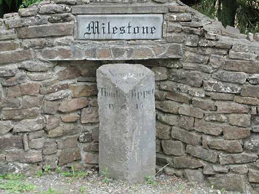 milestone/milepostmilestone/milepost · 3.0 mi
 Site of Cashlauncreen CastleCastle, tower house · 3.3 mi
 Site of Cloghonan CastleCastle, unclassified · 3.9 mi
 Killavalla WoodForest · 5.4 mi
 Silvermines ViewpointViewpoint · 7.3 mi
 Sweet ChestnutSweet Chestnut · 7.5 mi
 Our Lady Assumed into HeavenMemorial · 8.1 mi