What is recorded here
Outline of possible conjoined barrows (OF043-076001-) clearly visible on Google Earth aerial image taken 18/01/2018. Monument consists of a low circular mound (approx. diam. 9m) defined by a fosse with second barrow immediately to W.
See attached aerial photograph taken from Google Earth.
Compiled by: Caimin O'Brien based on details provided by Dr. Rob O'Hara
Date of upload: 25 February 2020
Mound barrow, likely dating to the Early Bronze Age. Its significance lies in its potential association with a wider landscape of conjoined barrows, indicating organized funerary or ritual activity in the area.
The monument record does not grant public access. Check the route and ask the landowner before entering private land.
- What survives
- Recorded monument
Places near here
 BarrowBarrow, mound barrow · 13 yd
 RoadRoad, hollow-way · 240 yd
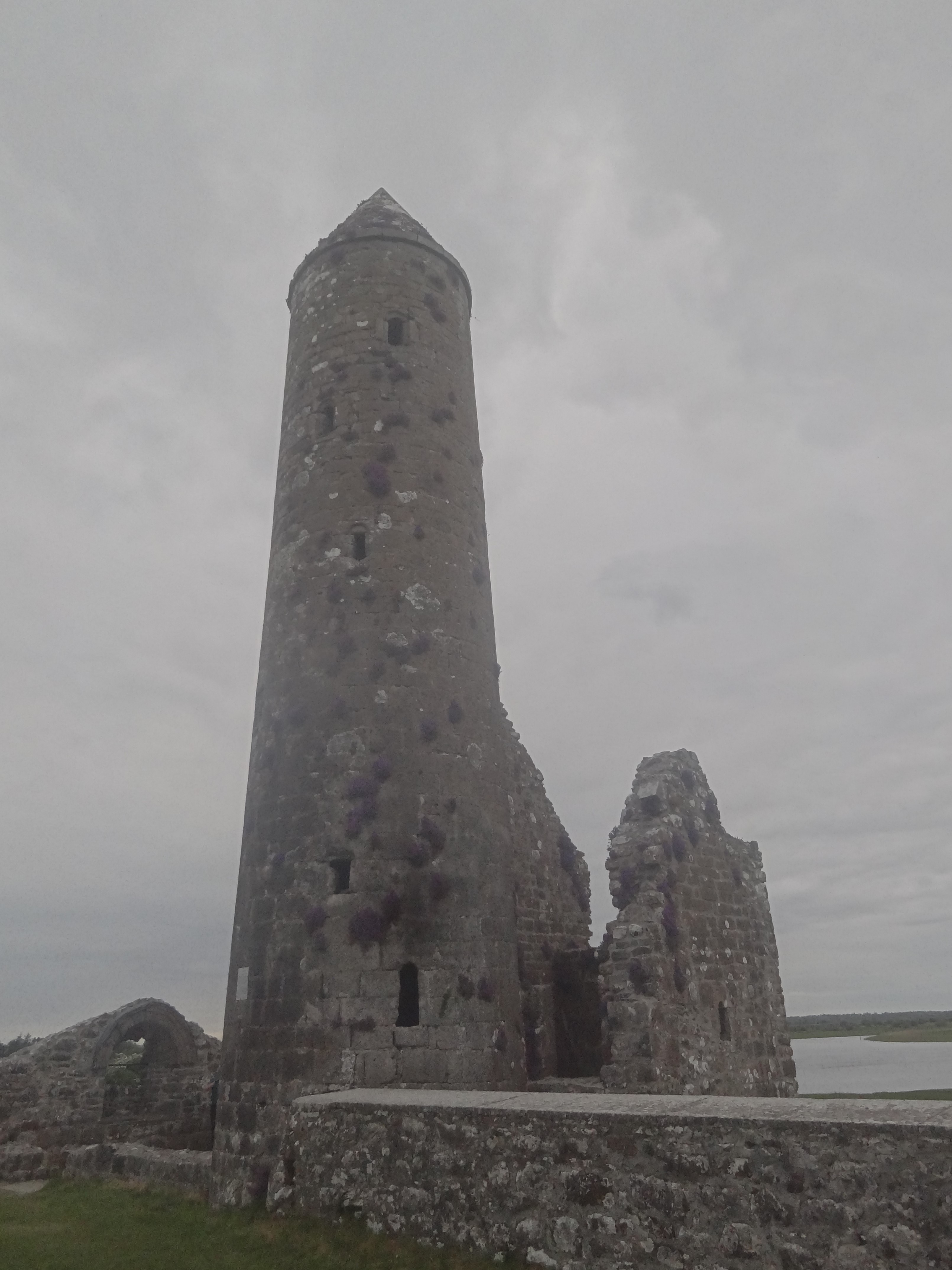 Ecclesiastical enclosure in FancroftEcclesiastical enclosure · 243 yd
 IndicatedCastle, motte · 281 yd
 Chapel (in ruins)Church · 326 yd
 Partially hachuredCastle, motte · 1297 yd
 Golden Grove HillMountain / peak · 1.1 mi
 Golden Grove WoodWood · 1.2 mi
 Millennium GardenMemorial · 1.8 mi
 Eagle HillMountain / peak · 2.0 mi
 European ashEuropean ash · 2.3 mi
 Roscrea Petty Sessions HouseHeritage attraction · 2.5 mi