What is recorded here
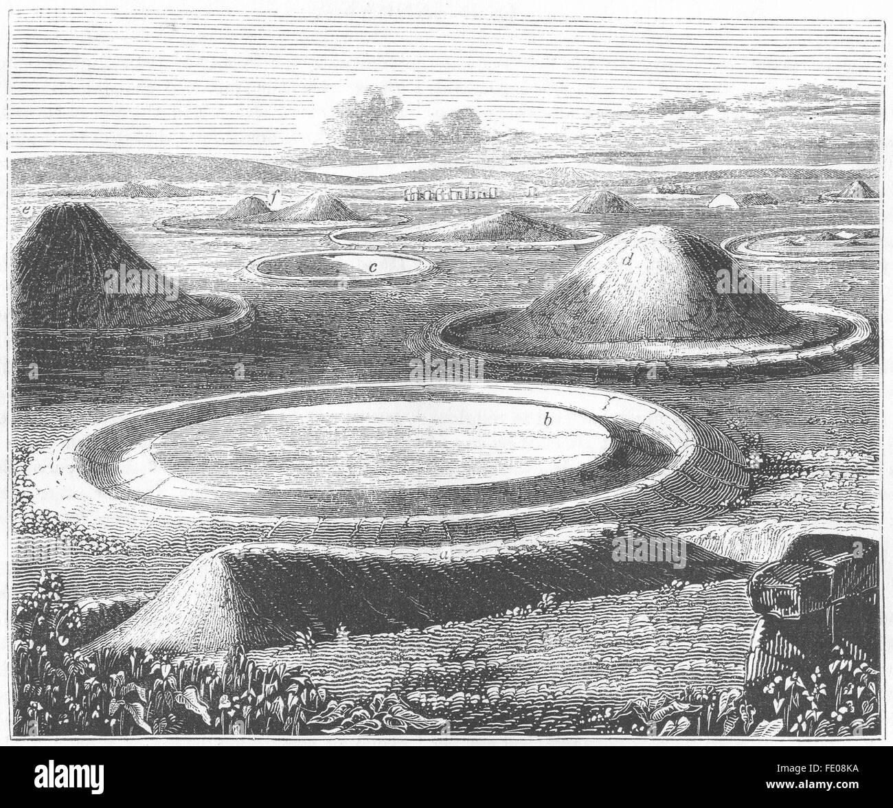
Barrow is a mound barrow in County Limerick, Ireland, where an oval earthwork still stands beside the River Maigue. The 1840 and 1897 maps captured its circular shape before cattle, weather and time softened the edge. A shallow ditch marks part of the boundary, while the dry interior waits beneath pasture and memory for someone to imagine whose hands first shaped it.
In pasture on a slight NNW-facing slope with moderate to good views in all directions. Located 110m SW of the River Maigue and the townland boundary with Castleroberts, ringfort (LI021-083----) 450m to SSE. The site is depicted as a circular enclosure on the 1840 ed. OSi 6-inch map. Shown on the 1897 ed. OSi 25-inch map as a raised area defined by a sloping bank (ext. diam. 25m). Inspected by the ASI in 2000 when it was described as a raised oval-shaped area (int. diam. 14m NNW-SSE; 10m ENE-WSW) defined by an earthen scarped edge with an external fosse (Wth 4.1m; int. D 1.1m; ext. D 0.3m) only visible at N and W. The interior is dry and clear of overgrowth. Trees located on the edge of the monument are visible on Google Earth orthoimages taken 28/06/2018 and 14/02/2020.
See attached sketch plan surveyed and drawn by the ASI and Google Earth orthoimages
Compiled by: Edmond O’Donovan
Date of upload: 12 August 2020
The monument record does not grant public access. Check the route and ask the landowner before entering private land.
- What survives
- Recorded monument
Places near here
 Site of CastleCastle, unclassified · 731 yd
 Castleroberts Bridgebridge · 975 yd
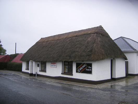 The Thatchhouse · 1054 yd
 Partially hachuredFairy fort / earthen ringfort · 1353 yd
 Enclosure in CastlerobertsEnclosure · 1566 yd
 Fanningstown Castle (in ruins)Castle, tower house · 1715 yd
 Dysert AenghusaHeritage attraction · 1.3 mi
 GinkgoGinkgo · 1.8 mi
 European YewEuropean Yew · 1.8 mi
 Biodiversity in the Maigue CatchmentVisitor information · 2.0 mi
 Adare Tourist OfficeVisitor information · 2.3 mi
 Kinnoor WellSpring · 2.3 mi
Other information
Photo: Credit not shown in the picture search · Rights wording not checked; contact us if this picture should be removed