What is recorded here
Situated on a very slight rise in gently undulating pasture. Natural ground level falls away from the site on the NE side. Oval flat-topped mound (dims. top 4.5m NW-SE; 2.5m NE-SW; base 10m NW-SE; 7.5m NE-SW; H 1.2-1.6m) of earth and stone. There is no fosse visible at ground level. The mound is sod-covered and clear of overgrowth. According to Timoney (1984, 322, no. 1) 'There is a local belief that this barrow may be of nineteenth century date.’
Compiled by: Mark Keegan
Date of upload: 19 January 2011
Mound barrow, likely dating to the Early Bronze Age. It represents a common funerary monument type in Ireland, associated with burial and ritual practices of the period.
The monument record does not grant public access. Check the route and ask the landowner before entering private land.
- What survives
- Recorded monument
Places near here
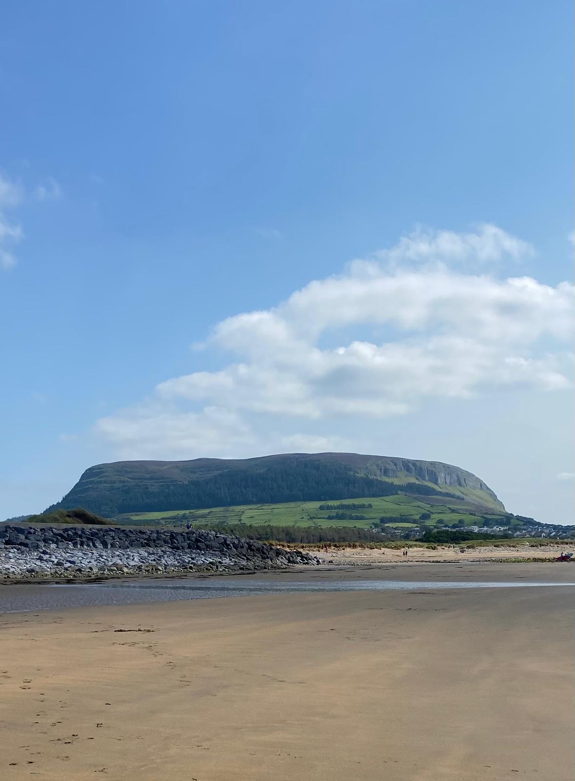 Enclosure in CulleenamoreEnclosure · 697 yd
 Habitation site in CarrowdoughHabitation site · 898 yd
 CulleenamoreBeach / strand · 943 yd
 Herdsman’s HutRuins · 1378 yd
 KnocknareaMountain / peak · 1572 yd
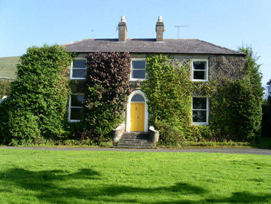 Glen Lodgehouse · 1.1 mi
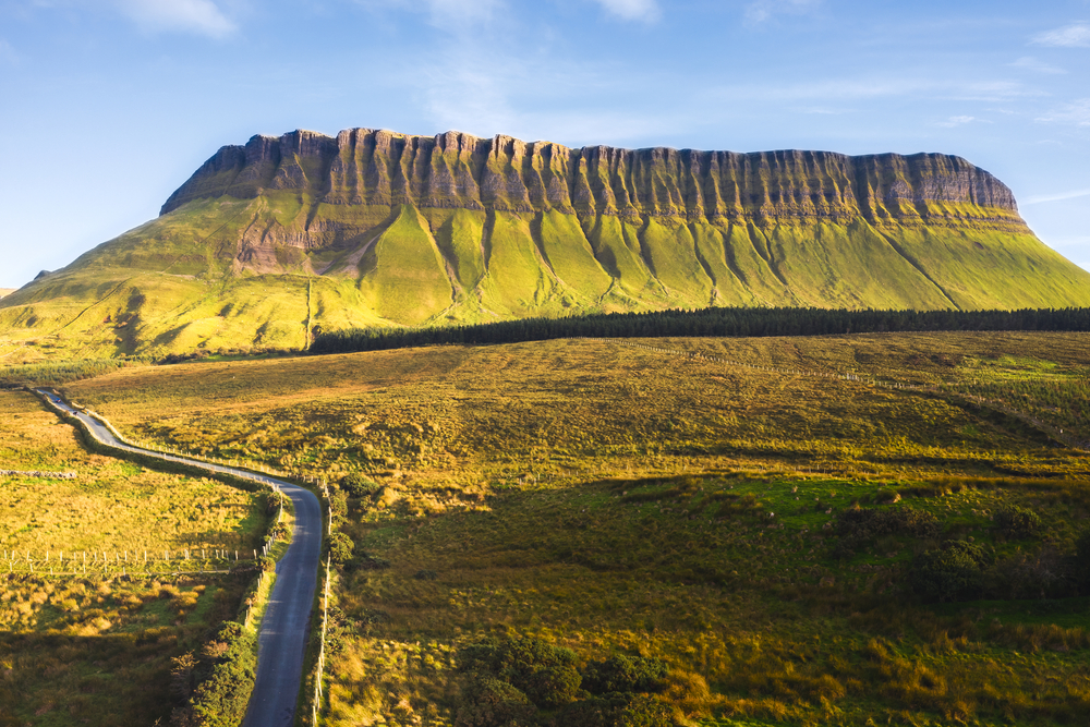 SuperHeritage attraction · 1.2 mi
 Knocknarea trailWalking route · 1.2 mi
 The GlenWood · 1.2 mi
 Portavaud PointHeadland · 1.4 mi
 Ballinlig PointHeadland · 1.5 mi
 Castle (in Ruins)Castle, unclassified · 1.5 mi