What is recorded here
Located on the lower NW-facing slope of the Hill of Lloyd, with a small N-S stream c. 80m to the W. This was described in 1969 (SMR file) as a circular grass-covered mound (diam. of base 14m NW-SE; 13m NE-SW; max. H 1.05m at NW) that melded into the slope E-S-W. It has eroded away and is not now visible in a tillage field and its precise location is not known. Mound (ME016-014----) is c. 100m to the SSW.
The above description is derived from the published 'Archaeological Inventory of County Meath' (Dublin: Stationery Office, 1987). In certain instances the entries have been revised and updated in the light of recent research.
Compiled by: Michael Moore
Date of revision: 25 February 2019
A Neolithic mound barrow; its significance lies in representing early funerary practices and landscape use in the region.
The monument record does not grant public access. Check the route and ask the landowner before entering private land.
- What survives
- Recorded monument
Places near here
 Castlepole ForestForest · 179 yd
 The Kieran Flanagan WayMemorial · 1145 yd
 The PaleWood · 1160 yd
 Enclosure in Rathbrack (kells Upper By., Dulane Par.)Enclosure · 1232 yd
 Great Famine ProjectMemorial · 1233 yd
 Spire of LloydMonument · 1238 yd
 Tower of Lloydmonument · 1238 yd
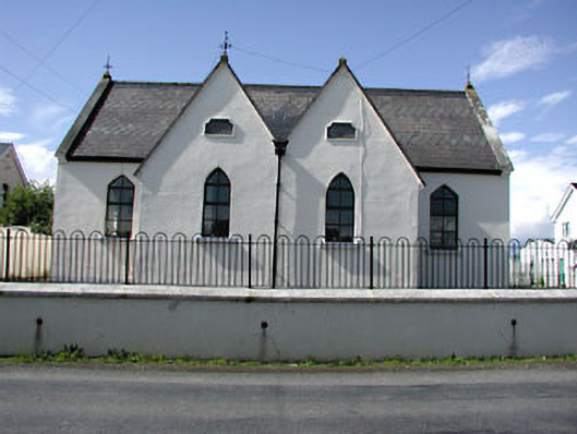 Drumbaragh National Schoolschool · 1.1 mi
 MountainpoleMountain / peak · 1.3 mi
 MoatCastle, motte and bailey · 1.4 mi
 MaperathMountain / peak · 1.8 mi
 CastleCastle, unclassified · 1.9 mi