What is recorded here
Situated on a prominent NNW-SSE ridge in an undulating landscape. It is depicted as a circular embanked enclosure (ext. diam. c. 35m) described as a ‘Fort’ on the 1836 edition of the OS 6-inch map and as a small mound on the 1912 edition. This is a circular grass-covered mound (diam. 13.7m WNW-ESE; 12.7m NNE-SSW; H 1.5m at S to 1.8m at N).
The above description is derived from the published 'Archaeological Inventory of County Meath' (Dublin: Stationery Office, 1987). In certain instances the entries have been revised and updated in the light of recent research.
Compiled by: Michael Moore
Date of revision: 12 August 2019
A Neolithic mound barrow, likely dating to the Early to Middle Bronze Age; its location on a prominent ridge suggests ceremonial or defensive significance, though its primary function remains uncertain.
The monument record does not grant public access. Check the route and ask the landowner before entering private land.
- What survives
- Recorded monument
Places near here
 Church in Summerhill DemesneChurch · 583 yd
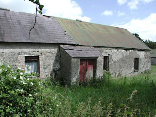 farm housefarm house · 990 yd
 CrossCross, Wayside cross (present location) · 1657 yd
 CastleCastle, tower house · 1699 yd
 European ashEuropean ash · 1.0 mi
 Enclosure in Summerhill DemesneEnclosure · 1.3 mi
 Dangan CastleCastle, tower house · 2.1 mi
 Saints IslandForest · 2.3 mi
 Kilgar GardensHeritage attraction · 3.5 mi
 Old Bog Road made famous by Teresa Bryton 1868-1943Memorial · 3.7 mi
 Cloncurry GraveyardHeritage attraction · 4.3 mi
 MullaghMountain / peak · 5.0 mi