
What is recorded here
Situated on a NW-facing slope of a prominent hillock, which was known as the Knock. The Civil Survey (1654-5) of Laracor parish records Gerratt Lynch of Knocke owning 500 acres in that townland, which would include the townlands of Summerhill and Moy, and in which there were two castles, a mill and ‘an old chapell’ (Simington 1940, 173). Dopping's Visitation Book (1682-5) lists this church as a chapel-of-ease to Laracor (ME036-044----), and records that the church was built by Bishop Henry Jones and consecrated on 25 July, 1669 (Ellison 1972, 10). There is no visible trace of the church within a circular graveyard (diam. c. 50-55m) defined by a masonry wall N-S-W, but the circuit is not completed W-N where the walls run to a NE-SW public road c. 60m to the NW. Trees grow inside the perimeter, and the headstones in the main date from the mid-18th century to the present.
The headstone (Wth 0.68m; H 0.63m; T 7-9cm) of Mary from Summerhill, dated 1689 (FitzGerald 1910), is leaning forward severely at the centre of the graveyard. The incised legend in roman letters inside a raised frame is crudely executed, the letters becoming smaller towards the bottom. It can be read as:
[ON THE…] DAY OF NOVEMBER IN THE / [YEA]R 1689 THE BODY OF GOOD MARY / [..]EAY OF SVMMERHIL WAS HERE / LAIN SHE (WAS) ONE THAT IN CHARITY / DID ABOVD SINCE FIRST SHE / LAID HER FOOT VPON THE / GROUND. SHE WAS ONE / THAT NEVER DID GRVDGE OF HER FRIEND/ OR WHAT GOD GAVE HER IN THIS WORLD / …EAD SHE WAS ONE THAT NIVER HAD / ….VRS SHE WAS TO HIPAST (?) AND A / ….ANOTHER AMOANVRSE SHE LIVED /…..HER HVSBAND MARTY VIARCANO / …HATH
The above description is derived from the published 'Archaeological Inventory of County Meath' (Dublin: Stationery Office, 1987). In certain instances the entries have been revised and updated in the light of recent research.
Compiled by: Michael Moore
Date of revision: 23 March, 2013
This remains an important historical record, but the official description says the monument is no longer visible or has been destroyed. The monument record does not grant public access. Check the route and ask the landowner before entering private land.
- What survives
- No visible remains or recorded as destroyed
Places near here
 Summerhill HouseRuins · 1217 yd
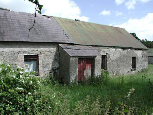 farm housefarm house · 1438 yd
 CastleCastle, tower house · 1489 yd
 CrossCross, Wayside cross (present location) · 1621 yd
 European ashEuropean ash · 1.1 mi
 Settlement desertedSettlement deserted, medieval · 1.1 mi
 Dangan CastleCastle, tower house · 2.4 mi
 Saints IslandForest · 2.6 mi
 Kilgar GardensHeritage attraction · 3.2 mi
 Old Bog Road made famous by Teresa Bryton 1868-1943Memorial · 3.5 mi
 Larchil Arcadian GardensHeritage attraction · 4.2 mi
 MullaghMountain / peak · 4.7 mi
Other information
Photo: Credit not shown in the picture search · Rights wording not checked; contact us if this picture should be removed