What is recorded here
Situated on a natural hillock with extensive views. A flat-topped earth and stone mound (H 1.3m; top diam. 4m; base diam. 7m approx.) the S half of which was levelled in the late 1970s during which a cist (TN034-093002) containing two female adult skeletons was revealed. The cartographic evidence suggests that the site originally consisted of two conjoined burial mounds, only the N half of one now survives.
The above description is derived from 'The Archaeological Inventory of County Tipperary. Vol. 1 - North Tipperary' compiled by Jean Farrelly and Caimin O'Brien (Dublin: Stationery Office, 2002). In certain instances the entries have been revised and updated in the light of recent research.
Date of upload/revision: 22 September 2008
Mound barrow, likely dating to the Early Bronze Age. Its partial disturbance during the 1970s revealed a cist, indicating a burial function and contributing to understanding of funerary practices in the region.
The monument record does not grant public access. Check the route and ask the landowner before entering private land.
- What survives
- Recorded monument
Places near here
 Bouladuff HillArchaeological place · 18 yd
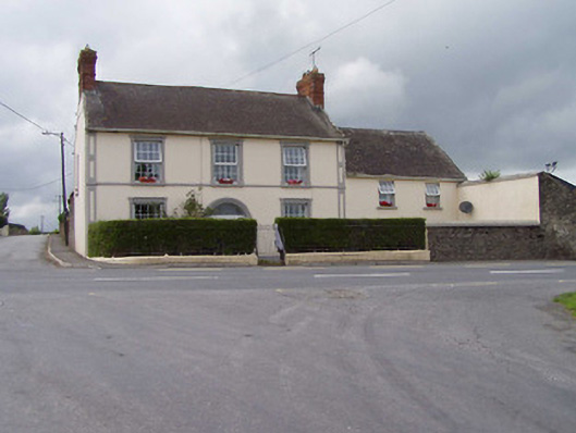 Bouladuff Househouse · 517 yd
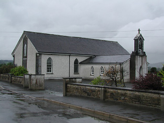 Catholic Church of Saint Laurence O'Toolechurch/chapel · 914 yd
 Enclosure in LiscreaghEnclosure · 1268 yd
 CastleCastle, unclassified · 1518 yd
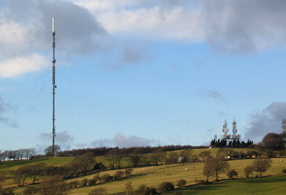 Bawn in AnnfieldBawn · 1.4 mi
 Pallas HillMountain / peak · 2.3 mi
 Kilvilcorris BogForest · 2.6 mi
 KnockaneMountain / peak · 2.9 mi
 Cormackstown Heritage CentreMuseum · 4.1 mi
 European ashEuropean ash · 4.3 mi
 Lár na PáirceMuseum · 4.7 mi