What is recorded here
Barrow is a barrow (mound barrow) in Ballyrobin (kilcornan Par.), County Tipperary, Ireland. The flat-topped ovoid earthen mound measures 4.5m north-south and 3m east-west at the top, 17m north-south and 13m east-west at the base, and rises 1.85 to 2.4m. Livestock erosion has formed a rough terrace midway up the south-west to south-east side, while rubble stone appears on the east side and two mature thorn bushes grow on the west side.
On a slight NW-facing slope, overlooking a NE-SW orientated valley, in improved pasture. A barrow (TS058-046----) is visible on the valley floor 750m to the NW and the standing stone (TS058-023004-) at Longstone is visible 1.8km to the N on the near horizon. Flat-topped ovoid earthen mound (dims. top 4.5m N-S; 3m E-W; base 17m N-S; 13m E-W; H 1.85-2.4m). No fosse or quarry ditch is visible at ground level. Erosion caused by livestock has formed a rough terrace midway up the side of the mound SW-SE. Some rubble stone has been exposed on the side of the mound at E. Clear of overgrowth except for two mature thorn bushes on the W side.
Compiled by: Jean Farrelly
Date of upload: 26 August 2011
A Neolithic mound barrow; its alignment and location suggest ritual or funerary significance within a broader ceremonial landscape.
The monument record does not grant public access. Check the route and ask the landowner before entering private land.
- What survives
- Recorded monument
Places near here
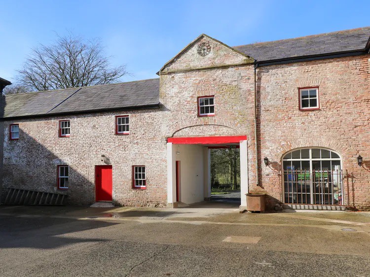 Enclosure in BallynacreeEnclosure · 315 yd
 Field system in Ballyrobin (kilcornan Par.)Field system · 586 yd
 Kilcornan Church (in Ruins)Church · 1254 yd
 Site of Castle LoaghnyCastle, unclassified · 1499 yd
 CastleCastle, ringwork · 1.5 mi
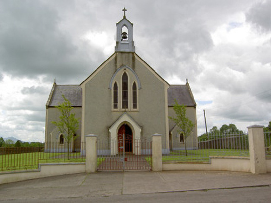 Saint Patrick's Catholic Churchchurch/chapel · 1.6 mi
 Oola HillMountain / peak · 3.3 mi
 Kilteely HillMountain / peak · 4.9 mi
 St. Patrick's WellSpring · 5.0 mi
 St Patrick's WellSpring · 6.2 mi
 Flat cemetery in Knockainy WestFlat cemetery · 6.8 mi
 Ballinvreena LoopVisitor information · 9.1 mi