What is recorded here
Located on the narrow summit of a steep-sided hill which rises on the S side of a promontory jutting into the Atlantic. The hill provides extensive views, including Ben Bulbin and the Dartry Mountains at ENE-E, and Knocknarae and the Ox Mountains at SE–S. To W and NW there are views out to sea. Sod-covered, circular mound (overall diam. 7-8m) with a flat top (diam. 2-2.5m) and broadly sloping side (H c. 1-1.2m). An E-W earth and stone field bank (Wth 1-1.2m; H 0.5m), topped with post and wire fencing, overlies the mound to S of centre. There is an upright, concrete trigonometrical station on a concrete base on the flat top of the mound, immediately to N of the field fence. A slight depression is evident at the base of the mound at SE and also at W. The mound barrow is not shown on the 1837 and 1913 OS 6-inch maps, but the location is marked on both maps as a trigonometrical station. There is a promontory fort (SL007-001001-) c. 400m to NW.
Compiled by: Jane O'Shaughnessy
Date of upload: 25 February 2014
A Bronze Age mound barrow; its location suggests ritual or strategic significance, possibly linked to early hilltop activity in the region.
The monument record does not grant public access. Check the route and ask the landowner before entering private land.
- What survives
- Recorded monument
Places near here
 Knocklane CastleRuins · 544 yd
 Promontory fortPromontory fort, coastal · 556 yd
 Knocklane Signal TowerRuins · 559 yd
 Horse IslandIslet · 638 yd
 Yellow StrandBeach / strand · 1298 yd
 St. Columbkilles WellHoly well · 1.1 mi
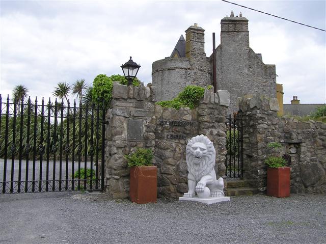 Bawn in ArdtermonBawn · 1.6 mi
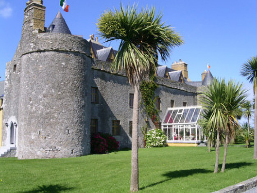 Ardtarmon Castlecastle/fortified house · 1.7 mi
 Ardtermon StrandBeach / strand · 1.8 mi
 Coastguard StationRuins · 1.8 mi
 Sligo BayBay · 3.4 mi
 Forester's WoodForest · 3.7 mi