What is recorded here
In improved, generally level, wet pasture. A sub-circular area (dims. 14m NE-SW; 11m NW-SE) defined by the remains of a low bank (overall Wth 2.3m; Wth at top 0.6m; int. H 0.18m; ext. H 0.45m) at SW and NW, elsewhere the bank is reduced to scarp (Wth 0.85m; H 0.3m) and an outer fosse (Wth 2.35-2.45m; D 0.05-0.15m). The scarp and fosse have been straightened across the NE sector. The interior is generally level and is planted with blackthorn trees. There are numerous undulations across the field to SW and SE.
Compiled by: Jean Farrelly
Date of upload: 26 August 2011
A Neolithic embanked barrow; its construction dates to the early to middle Neolithic period (c. 4000–3000 BCE). Such barrows are significant as some of the earliest monumental burial structures in the British Isles, reflecting early communal ritual practices.
The monument record does not grant public access. Check the route and ask the landowner before entering private land.
- What survives
- Recorded monument
Places near here
 Enclosure in KnockphelaghEnclosure · 1095 yd
 IndicatedCastle, unclassified · 1.2 mi
 Enclosure in LisheenkyleEnclosure · 1.2 mi
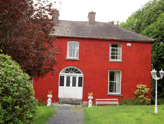 Chadville Househouse · 1.3 mi
 CastleCastle, ringwork · 1.4 mi
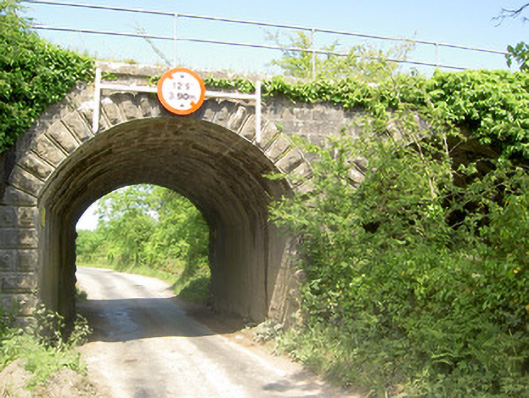 bridgebridge · 1.7 mi
 Soloheadbeg Ambushambush · 1.7 mi
 Soloheadbeg Ambush SiteMemorial · 2.1 mi
 Oola HillMountain / peak · 2.6 mi
 The Maid of ErinMemorial · 4.5 mi
 European ashEuropean ash · 5.3 mi
 KnockseefinMountain / peak · 7.4 mi