What is recorded here
In pasture, located on a slight elevation in an area of lowlying grassland. There are good views, with the Partry Mountains visible on the far horizon to W.
This monument is not shown on any edition of the OS 6-inch maps. Circular, flat-topped earthen mound (diam. 15m E−W; 14.5m N−S; H 0.85m at E, 0.6m at W) enclosed at its base by a fosse (Wth c. 2m), which is evident now as a barely discernible depression. The top (diam. 5-6m) of the mound retains a hint of a raised rim or bank (Wth c. 2m) on the S arc, which gives it a slightly saucer-shaped profile.
A ringbarrow (MA118-052----) is located 250m to NE and there is an embanked barrow (MA118-079----) 300m to SE.
Attached images:
MA118-172----_01.JPG Viewed from NW
MA118-172----_02.JPG Viewed from E
Compiled by: Jane O’Shaughnessy
Date of upload: 19 March 2021
The monument record does not grant public access. Check the route and ask the landowner before entering private land.
- What survives
- Recorded monument
Places near here
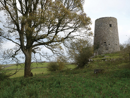 Highwood Millmill (wind) · 999 yd
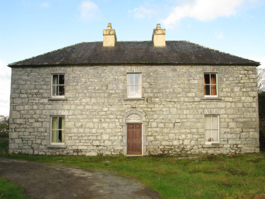 Carranvilla Housefarm house · 1146 yd
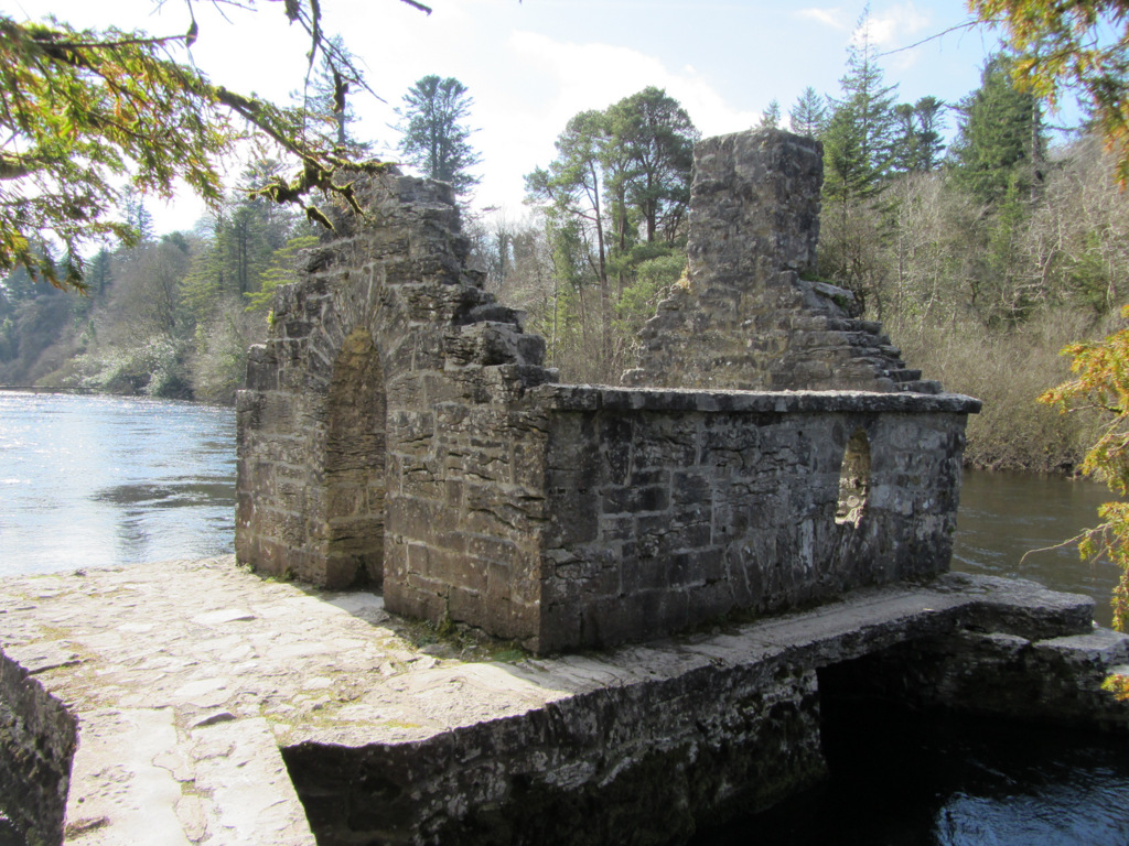 Enclosure in Kilquire LowerEnclosure · 1169 yd
 IndicatedFairy fort / earthen ringfort · 1268 yd
 Bawn in Kilquire LowerBawn · 1350 yd
 Bunacrower CastleCastle · 1.1 mi
 SycamoreSycamore · 3.1 mi
 European YewEuropean Yew · 3.5 mi
 Crane IslandIslet · 6.4 mi
 Cow IslandIslet · 6.5 mi
 School of FalconryHeritage attraction · 8.9 mi
 Ross Errilly FriaryHeritage attraction · 9.1 mi