
What is recorded here
In pasture, on the NE-facing shoulder of a drumlin. This barrow was partially excavated by Keane and Farrelly (1993, 56; 1994, 71) in 1992 and 1993. It was described prior to excavation as a concave circular area (int. diam. 9m) raised slightly above the external ground level and enclosed by an earth and stone bank…
Read the whole record
From the National Monuments Service (Archaeological Survey of Ireland) record SL039-009
Places near here
Photo credits
- Maker not stated on source page, ca.pinterest.com
- Maker not stated on source page, www.tripadvisor.com.tr
- Maker not stated on source page, www.tripadvisor.com.au
- Maker not stated on source page, www.atlasobscura.com
- Maker not stated on source page, www.alamy.com
- Maker not stated on source page, www.pinterest.com
- Maker not stated on source page, www.360cities.net
- Maker not stated on source page, irisharchaeology.org
- Andreas F. Borchert, Wikimedia Commons · CC BY-SA 4.0
- Eamonn McMunn / Sligo GAA (credit visible on photograph), www.sligogaa.ie
 CastleCastle, unclassified · 632 yd
Explorer Tom Ballynaglogh Castle would describe itself as 'mysterious and slightly damp' to any stranger. It was besieged in the…
 Graveyard in BallynagloghGraveyard · 845 yd
Explorer Tom Saint Patrick looked at the graveyard in Ballynaglogh and said, 'I’ll need a bigger bag of bones.' The Taaffe family…
 abbeyRuins · 867 yd
Explorer Tom Abbey in County Sligo has one resident bird who absolutely refuses to leave, claiming it owns the whole place based on…
 CairnCairn, unclassified · 900 yd
Explorer Tom Cairn in Ballynaglogh is just a pile of stones that thinks it’s winning a county fair best display prize. It’s got…
 Fairy fort / earthen ringfort in Aughris (corran By.)Fairy fort / earthen ringfort · 1038 yd
Explorer Tom Aughris’ oval fort witnessed a love story that went badly wrong when two families argued over whose side of the bank…
 Fairy fort / earthen ringfort in CarrowloughlinFairy fort / earthen ringfort · 1.0 mi
Explorer Tom Fairy fort / earthen ringfort in Carrowloughlin: It has three banks because it’s paranoid, and its least favorite…
 Megalithic tomb in Cloonameehan South,rinnarogueMegalithic tomb · 1.3 mi
Explorer Tom Megalithic tomb in Cloonameehan South is a Giant's Grave whose exact location is debated between two townlands because…
 Bullaun stone in Lissananny BegBullaun stone · 1.4 mi
Explorer Tom Bullaun stone in Lissananny Beg is described as an ancient well basin, so I bet it can hear everything you whisper to…
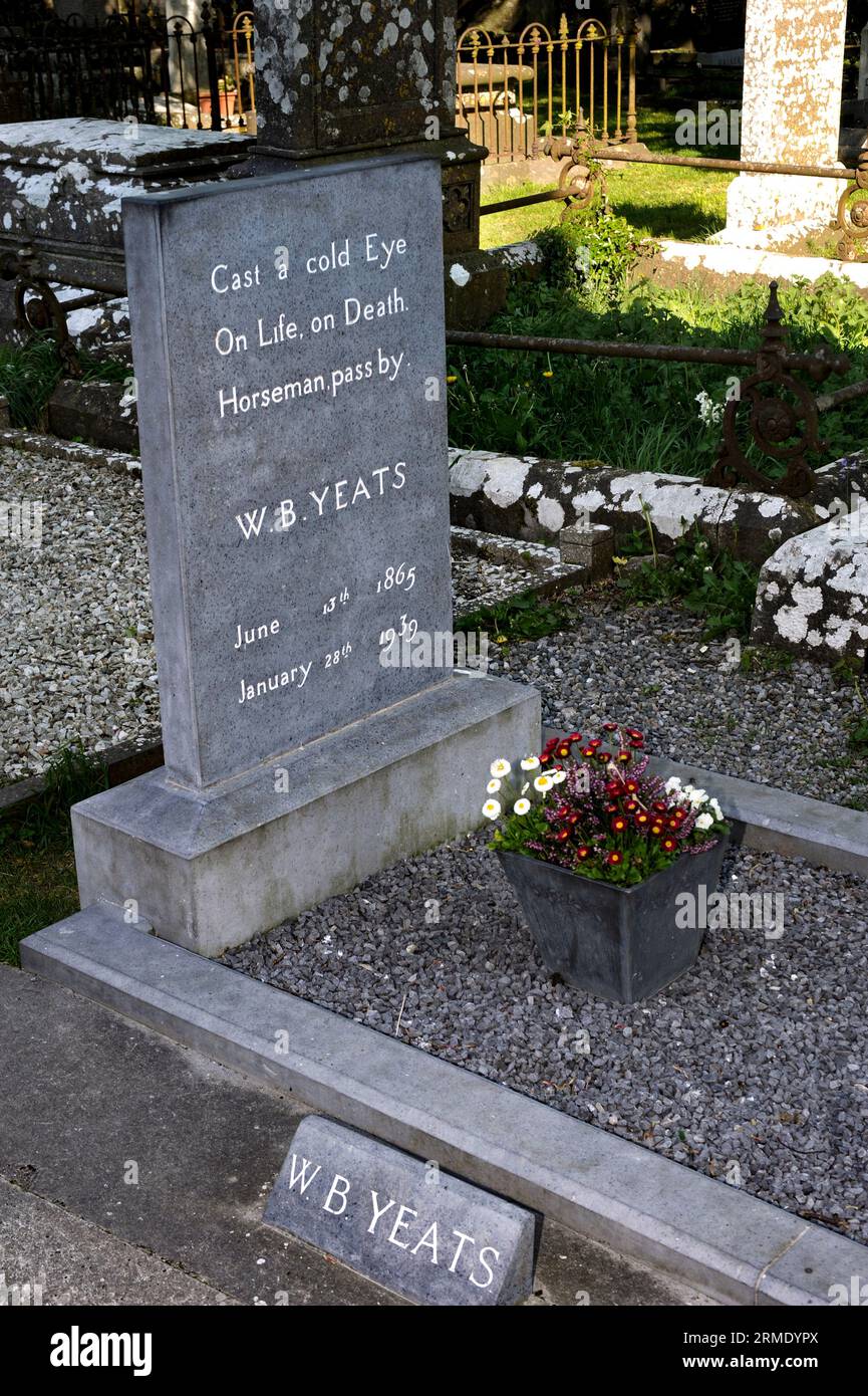 Cloonameehan CemeteryCemetery · 1.4 mi
Explorer Tom Cloonameehan Cemetery is hiding a scandal where two families got mixed up in a love triangle that ended with a very…
 Abbey (in Ruins)Religious house, Dominican friars · 1.4 mi
Explorer Tom The Abbey at Rinnarogue is perched on a drumlin slope, looking down its nose at any tourists who wander up from Dublin…
Fairy fort / earthen ringfort in BallyfahyFairy fort / earthen ringfort · 1.4 miExplorer Tom Fairy fort / earthen ringfort in Ballyfahy had a prophecy that it would become a disco, but the trackway got in the way…
 Bunninadden Community Park, Bunninadden GAAGAA ground · 1.9 mi
More archaeology and monuments in County Sligo · All of County Sligo

What do you know about this place?Tap to add a comment or ask a question