What is recorded here
Situated on elevated grassland with good views. Low roughly circular shaped earth and stone mound (approx. diam. 12m; H 0.3m) best preserved at W with some dumping of field clearance debris at E. The centre of the mound appears to have a hollow depression but this feature was difficult to interpret due to the growth of nettles and other vegetation on the mound.
Compiled by: Caimin O'Brien based on details provided by Chris Corlett
Date of upload: 21 July 2017
Embanked barrow, likely dating to the Early Bronze Age. This type of monument is significant as it represents an early form of burial practice associated with the introduction of metallurgy and agrarian society in the region.
The monument record does not grant public access. Check the route and ask the landowner before entering private land.
- What survives
- Recorded monument
Places near here
 IndicatedCairn, unclassified · 1092 yd
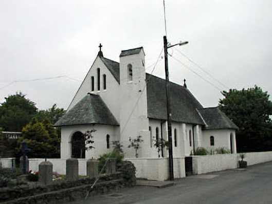 Catholic Church of Saint Laurence O'Toolechurch/chapel · 1248 yd
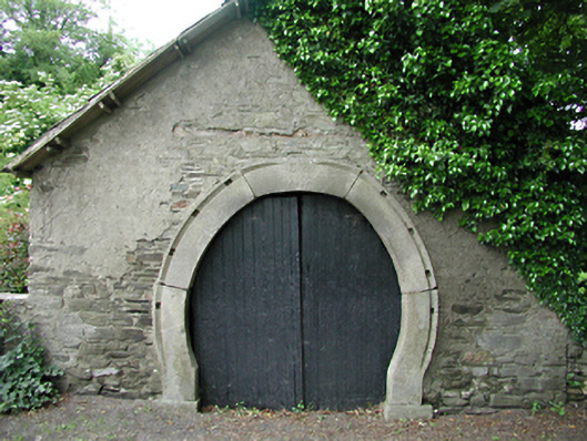 forge/smithyforge/smithy · 1271 yd
 Font in Calliaghstown LowerFont · 1436 yd
 Kilteel WoodWood · 1562 yd
 Kilteel CastleCastle, tower house · 1671 yd
 Cupidstown HillMountain / peak · 1.3 mi
 Saggart HillMountain / peak · 1.4 mi
 Castlewarden MoatCastle, motte and bailey · 2.3 mi
 Inniscara GalleryGallery · 3.1 mi
 Rathcoole WoodlandWood · 3.2 mi
 Meadow WildlifeVisitor information · 3.6 mi