What is recorded here
On the N end of a gravel ridge with restricted views to N and E and more extensive views to S and W. Described in 1995 (pers. comm. M. Keane and J. Farrelly) as a barrow (original overall diam. 11m WNW-ESE), the S half of which is destroyed by quarrying and the E edge of which is truncated by a field boundary. The remains consist of an arc of bank (Wth 4.2m; ext. H 0.55m) W-E. The section of the interior visible in the quarry face showed that the barrow was composed of gravel and large stones covered by a layer of topsoil. A small V-shaped pit (diam. 0.25m; D 0.3m), filled with dark brown clay, was also visible in the exposed section. (Farrelly and Keane 2002, 98)
The above description is derived from the published 'Archaeological Inventory of County Sligo' compiled by Ursula Egan, Elizabeth Byrne, Mary Sleeman with Sheila Ronan and Connie Murphy (Dublin Stationery Office, 2005).
Date of upload: 18 January 2008
The monument record does not grant public access. Check the route and ask the landowner before entering private land.
- What survives
- Recorded monument
Places near here
 Fairy fort / stone ringfort in Lissananny MoreFairy fort / stone ringfort · 529 yd
 Abbey (in Ruins)Church · 979 yd
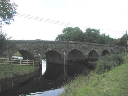 Big Bridgebridge · 1.5 mi
 IndicatedFairy fort / earthen ringfort · 1.5 mi
 Ballymote CastleCastle · 1.7 mi
 Brother WalfridMemorial · 1.8 mi
 Ballyfahy Castle (in Ruins)Castle, unclassified · 2.0 mi
 Tymon's HillMountain / peak · 2.7 mi
 ElderElder · 3.5 mi
 Caves of KeshCave · 3.8 mi
 European ashEuropean ash · 4.1 mi
 Kesh CorannMountain / peak · 4.3 mi