What is recorded here
In grassland. Cropmark of ditch-barrow (diam. c. 6m) visible on Google Earth orthophoto taken 18/11/2018.
See attached Google Earth orthoimages
Compiled by: Caimin O’Brien
Date of upload: 9 December 2021
Ditch barrow, likely dating to the Early Bronze Age. Its presence indicates a local funerary tradition associated with early field systems and territorial markers in the region.
The monument record does not grant public access. Check the route and ask the landowner before entering private land.
- What survives
- Recorded monument
Places near here
 Rathcoonagh, HachuredFairy fort / earthen ringfort · 569 yd
 Rathadooneen, HachuredFairy fort / earthen ringfort · 935 yd
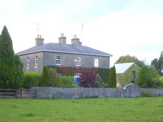 rectory/glebe/vicarage/curate's houserectory/glebe/vicarage/curate's house · 1200 yd
 Church (in ruins)Church · 1315 yd
 Duntryleague - hachuredCastle, ringwork · 1.2 mi
 Site of Castle, Castle FieldCastle, unclassified · 1.5 mi
 Duntryleague HillMountain / peak · 1.6 mi
 Darby's Bed Walk LoopWalking route · 1.6 mi
 Saint Patrick's WellSpring · 2.6 mi
 SlievereaghMountain / peak · 2.8 mi
 Edmund's WellSpring · 3.5 mi
 Ballinvreena LoopVisitor information · 4.2 mi