What is recorded here
Situated on poorly drained lands of Sonna Demesne with enclosure (WM018-160----) 30m to NNW. Small circular-shaped earthwork (approx. diam. 15m NNW-SSE) defined by a ditch and bisected by a post-1700 ditch is visible on Digital Globe aerial photography. Not depicted on any edition of the OS maps.
Compiled by: Caimin O'Brien
Date of upload: 11 February 2019
A ditch barrow, likely dating to the Early Bronze Age. Its presence indicates early ceremonial or funerary activity in the Sonna Demesne area.
The monument record does not grant public access. Check the route and ask the landowner before entering private land.
- What survives
- Recorded monument
Places near here
 Enclosure in Sonna DemesneEnclosure · 69 yd
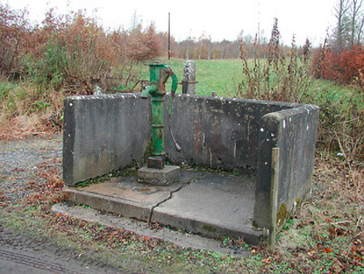 water pumpwater pump · 584 yd
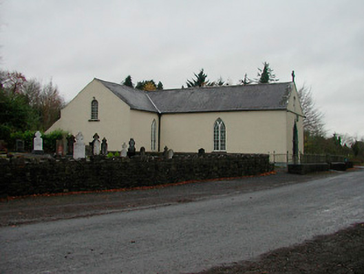 Saint Michael's Catholic Churchchurch/chapel · 667 yd
 OutlinedFairy fort / earthen ringfort · 1.0 mi
 Simonstown Castle (in Ruins)Castle, unclassified · 1.8 mi
 WestmeathVisitor information · 1.9 mi
 Site of CastleCastle, unclassified · 1.9 mi
 Carrickphilbin IslandIslet · 2.7 mi
 Baronstown ForestWood · 3.1 mi
 Ancient Ring FortWood · 3.2 mi
 Srudarra IslandIslet · 3.4 mi
 Abbeyshrule AbbeyRuins · 7.7 mi