What is recorded here
Situated in gently undulating pastureland on a natural rise of ground, 500m N of Cloghjordan House (TN016-001003-) and the historic village of Cloghjordan (TN016-001----). Geophysical survey carried out under licence No. 06R020 in this field in 2006 discovered the site of a ditch-barrow located immediately to the W of a levelled enclosure (TN011-029----). Subsequent archaeological test trenching of this monument by Emer Dennehy on behalf of Margaret Gowen & Co. Ltd. in 2006 under licence number 06E0257 confirmed the feature as that of a ditch-barrow (TN011-038----) and suggested the possibility that the large enclosure (TN011-029----) may be the site of a prehistoric ritual enclosure rather than that of a possible medieval ringfort (Dennehy 2009, 490). The monument survives in-situ.
The test excavation results were summarised by Dennehy (2009, 490) as following; 'The proposed development at Cloughjordan comprises a 67-acre site within which a ‘sustainable village’ is to be constructed. A total of 133 mixed residential units will be constructed on the southern twenty acres of the site and 30% of the development site will be used for woodlands with the remaining 40% used for agricultural activity. The site is in a rich archaeological and historical environment, with the three RMP sites located within or adjacent to the development. These sites, namely the moated site (TN011–028----) and Cloughjordan Castle (TN016–001----), attest the Anglo-Norman occupation of the area. The enclosure site [TN011-029----], though levelled, is illustrated on cartographic sources and was perceived to be medieval in date. However, a late Bronze Age/Early Iron Age ring-barrow (ext. diam. 16m) was identified immediately adjacent to the enclosure and now suggests the enclosure could be prehistoric. Initial investigations involved a detailed geophysical survey (06R020) and this was followed by an archaeological impact assessment targeting known and suspected areas of archaeological activity'. Archaeological test trench 12 which was opened across the SW quadrant of the barrow uncovered the disarticulated remains of skeletal material including skull fragments and a long bone which were left in-situ. This skeletal material was found at two locations within the interior of the barrow. A section of the ditch of the barrow was excavated revealed that it was V-shaped in profile measuring 1.1m deep by 1.4m wide at the top and narrowing to 0.1m at the base (Dennehy 2006, 18).
See attached images showing location of barrow site, taken from Dennehy 2006. See attached geophysical survey plot showing outline of levelled enclosure (TN011-029----) with smaller ditch-barrow immediately to W, taken from Harrison 2006.
Compiled by: Caimin O'Brien
Date of upload: 6 May 2020
Ditch barrow, likely dating to the Early Bronze Age. Its construction reflects early funerary practices associated with burial mounds and earthworks in Ireland.
The monument record does not grant public access. Check the route and ask the landowner before entering private land.
- What survives
- Recorded monument
Places near here
 Enclosure in OxparkEnclosure · 31 yd
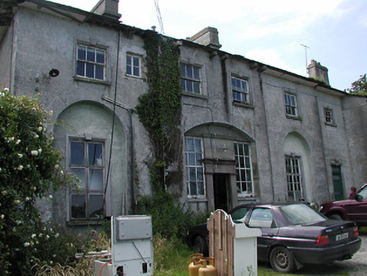 Deerpark Housecountry house · 497 yd
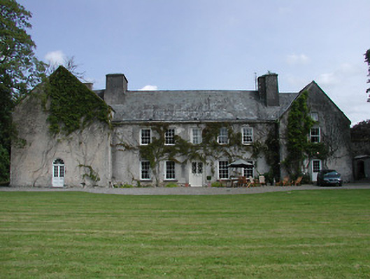 Cloghjordan Housecountry house · 591 yd
 Sweathouse in OxparkSweathouse · 592 yd
 CastleCastle, tower house · 596 yd
 MacDonagh HouseMemorial · 874 yd
 Thomas MacDonagh Heritage CentreMuseum · 894 yd
 Knockanacree WoodForest · 908 yd
 Castle in ruinsCastle, unclassified · 1.1 mi
 Ballycapple WoodForest · 3.1 mi
 James Devaney MemorialMemorial · 5.6 mi
 Interragh HillMountain / peak · 9.3 mi