What is recorded here
In reclaimed poorly drained grassland, ditch-barrow (LI033-162----) 18m to N. One of a group of five possible ditch-barrows (LI033-162/176-79----). Cropmark of ditch-barrow intersected at N by possible drainage ditch visible on Google Earth orthoiphoto taken 18/11/2018. Outline of barrow clearly visible on OSi orthoimage taken between 2005-12 and on Digital Globe orthophoto taken between 2011-13.
See attached Google Earth orthoimage taken 18/11/2018
Compiled by: Caimin O’Brien
Date of upload: 3 December 2021
Ditch barrow, likely dating to the Early Bronze Age. It is part of a small group of similar monuments, indicating a local funerary or ritual landscape.
The monument record does not grant public access. Check the route and ask the landowner before entering private land.
- What survives
- Recorded monument
Places near here
 BarrowBarrow, ditch barrow · 30 yd
 Site of Killeen ChurchChurch · 1293 yd
 CastleCastle, motte · 1601 yd
 Ahnageeragh Bridgebridge · 1.2 mi
 CashlanCastle, unclassified · 1.3 mi
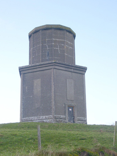 water towerwater tower · 1.5 mi
 Kilteely HillMountain / peak · 2.6 mi
 Flat cemetery in Knockainy WestFlat cemetery · 2.6 mi
 St. Patrick's WellSpring · 3.0 mi
 St Patrick's WellSpring · 3.7 mi
 Ballinvreena LoopVisitor information · 6.6 mi
 SlievereaghMountain / peak · 7.2 mi