What is recorded here
In grassland, ditch-barrow (LI049-285----) 12m to S. Cropmark of ditch-barrow (diam. c. 7m) visible on Google Earth orthophoto taken 18/11/2018.
See attached Google Earth orthoimages
Compiled by: Caimin O’Brien
Date of upload: 8 December 2021
Ditch barrow, likely dating to the Early Bronze Age. Its significance lies in its association with early funerary and ritual practices in the region, though specific details remain unrecorded.
The monument record does not grant public access. Check the route and ask the landowner before entering private land.
- What survives
- Recorded monument
Places near here
 BarrowBarrow, ditch barrow · 23 yd
 Not shownFulacht fia · 379 yd
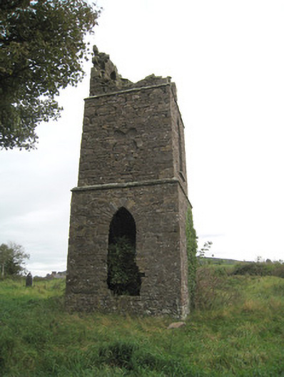 Duntryleague Church (Galbally)church/chapel · 1139 yd
 Duntryleague - hachuredCastle, ringwork · 1222 yd
 Aughavoona Househouse · 1540 yd
 Saint Patrick's WellSpring · 1.2 mi
 Ryves CastleCastle, unclassified · 1.5 mi
 Darby's Bed Walk LoopWalking route · 1.6 mi
 Duntryleague HillMountain / peak · 1.6 mi
 Edmund's WellSpring · 2.3 mi
 SlievereaghMountain / peak · 2.4 mi
 Ballinvreena LoopVisitor information · 3.3 mi