What is recorded here
New monument uncovered during excavation by Eamonn Cotter under licence number 03E0461 in advance of the M7 Heath-Mayfield motorway scheme.
Area C encompassed the summit and slopes of the low hill which dominates the immediate landscape. Excavation in this area revealed a ditch-barrow located on the E slope of the low hill measuring 15m in diameter and enclosed by a U-shaped ditch (Wth 0.8-1.8m; D 0.9m). No archaeological features were uncovered within the barrow (Bennett 2006, 293).
Compiled by: Caimin O'Brien
Date of upload: 17 December 2007
Ditch barrow, likely dating to the Early Bronze Age. Its discovery provides insight into burial practices and landscape use in a region where such monuments are poorly documented.
The monument record does not grant public access. Check the route and ask the landowner before entering private land.
- What survives
- Recorded monument
Places near here
 Enclosure in MorettEnclosure · 1 yd
 Morett Castle (in ruins)House, fortified house · 381 yd
 Morett Church (in Ruins)Church · 511 yd
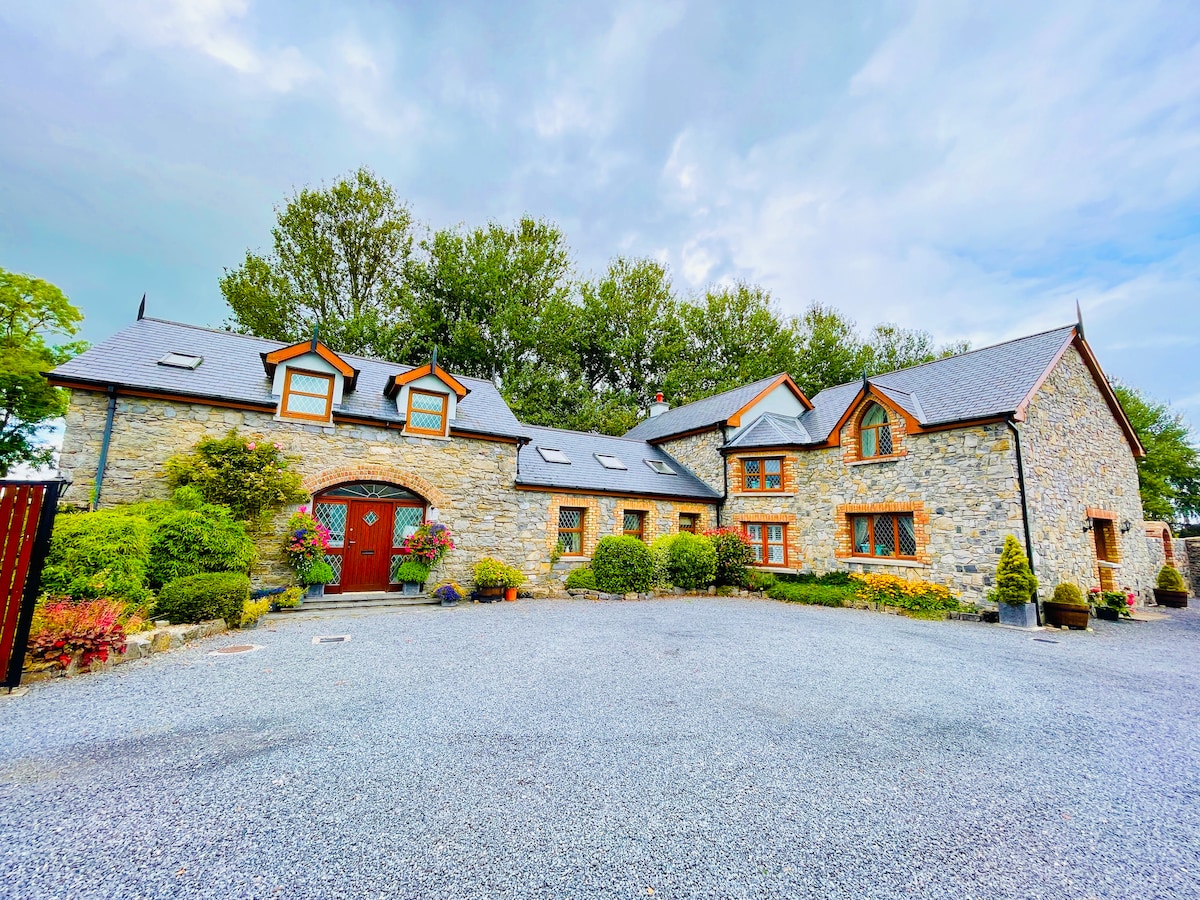 Rathnalulagh (Site of)Fairy fort / ringfort · 625 yd
 farm housefarm house · 1.0 mi
 Pedunculate OakPedunculate Oak · 1.1 mi
 Coolbanagher Castle (ruins)Castle · 1.4 mi
 European YewEuropean Yew · 1.9 mi
 Emo CourtHeritage attraction · 2.0 mi
 Rock of DunamaseCastle · 3.2 mi
 Rock of Dunamase InformationVisitor information · 3.3 mi
 Friary (in Ruins) GraveyardReligious house, unclassified · 4.2 mi