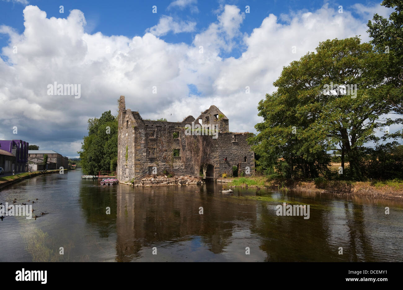
What is recorded here
Barrow is a ditch barrow hidden in reclaimed pasture beside the Morningstar River, joining two smaller mounds in a triangle that no human hand has marked since antiquity. The river still flows past the townland boundary while the mounds wait beneath grass, perhaps holding bones, perhaps only soil moved by people who never learned to write. A cropmark flickered above the field in 2013, as if the ground remembered the shape and showed it once before pulling it back.
In reclaimed pasture 100m SW of the Morningstar River that marks the townland boundary with Milltown. Possible barrows (LI040-253/254----) lies 15m to SW and 25m to SE respectively. Not depicted on OSi historic maps. Visible as a circular-shaped area enclosed by a ditch on oblique aerial photograph (ASIAP (348) 22). Faint traces of a cropmark visible on Google Earth orthoimage dated 04/04/2013.
See attached oblique aerial image (ASIAP (348) 22) and Google Earth orthoimages.
Compiled by: Martin Fitzpatrick
Date of upload: 29 June 2021
A ditch barrow, likely dating to the Early Bronze Age; its location suggests a possible funerary or ritual function within a broader landscape of related barrows.
The monument record does not grant public access. Check the route and ask the landowner before entering private land.
- What survives
- Recorded monument
Places near here
 RoadRoad, road/trackway · 294 yd
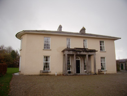 Milltown Parkcountry house · 569 yd
 Enclosure in Milltown (coshma By.)Enclosure · 683 yd
 Ballygrennan Castle (in ruins)Castle, tower house · 956 yd
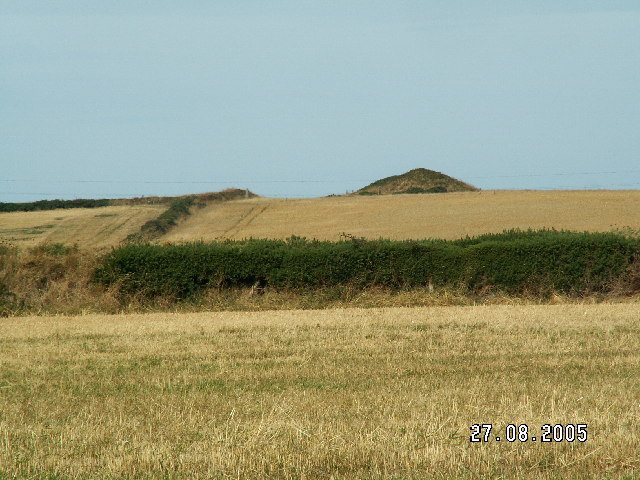 Burial mound in BaggotstownBurial mound · 1516 yd
 Castle (in ruins)Castle, unclassified · 1.1 mi
 Glen BogForest · 1.8 mi
 KnockainyMountain / peak · 2.2 mi
 Flat cemetery in Knockainy WestFlat cemetery · 3.0 mi
 St Patrick's WellSpring · 5.8 mi
 Edmund's WellSpring · 6.3 mi
 Ballinvreena LoopVisitor information · 6.6 mi
Other information
Photo: Credit not shown in the picture search · Rights wording not checked; contact us if this picture should be removed