What is recorded here
On flat reclaimed pasture with good views in all directions with nearby Munster river to SE. Though originally marshy, the land has been drained and reclaimed. Aerial photographs (CUCAP APD 62, 63, 64) taken in 1966 reveal at least ten ring-ditches (TS043-019002- to TS043-019010-), in a roughly linear arrangement, aligned NW-SE, which show up as circular cropmarks. It is likely that these are a barrow group, and while they may be levelled ring-barrows, without evidence of an outer bank they have been classified as ditch-barrows. This ditch barrow is located in the centre of the alignment and is similar in size to four other barrows (TS043-019002-; TS043-019005-; TS043-019009- and TS043-019010-) within the group. The ditch barrow (TS043-019003-), at the NE end of the alignment, is the largest in the group. Cropmarks, indicative of a field system (TS043-019001-), consisting of two parallel linear ditches are visible to the W of the barrow group, with two single ditches to S and E. None of the features indicated on the aerial photographs are visible at ground level.
Compiled by: Jean Farrelly
Date of upload: 26 March 2015
A ditch barrow, likely dating to the Early Bronze Age, associated with burial and ritual practices of the period. Its location and visibility suggest it may have had a ceremonial or territorial significance in the landscape.
The monument record does not grant public access. Check the route and ask the landowner before entering private land.
- What survives
- Recorded monument
Places near here
 Lisduff Bridgebridge · 182 yd
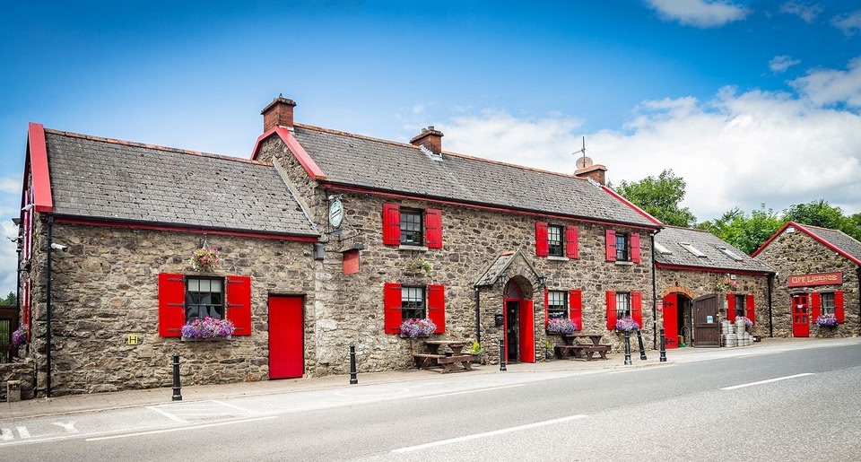 Garnagale Ringfort (rath)Archaeological place · 924 yd
 Glenreagh Ringfort (rath)Archaeological place · 928 yd
 Aglish Church (in Ruins)Church · 1428 yd
 CastleCastle, tower house · 1629 yd
 Serpentine WoodForest · 1.4 mi
 Four Acre WoodForest · 1.5 mi
 Black CastleCastle, hall-house · 1.8 mi
 Clomantagh HillMountain / peak · 3.6 mi
 Bregaun HillMountain / peak · 3.7 mi
 John HelyMemorial · 4.0 mi
 DelaneyMemorial · 4.1 mi