What is recorded here
A barrow-cemetery consisting of seven barrows (WM007-014/016/017/018/015/015001-), six of the barrows are still visible with no surface remains visible of the seventh barrow. Monument surveyed in 2015 and described by McGuinness (2015, 58) as following: ‘Very low-relief earthwork comprising a low central mound or platform (Diam. 7m N-S x 6.7m E-W) surrounded by a ditch (Overall diam. 10.5m N-S x 10.2m E-W); there appears to be no surface traces of an outer bank but this need not be surprising in view of the near-flattened condition of the site. Ditch reaches a greatest depth of 0.4m below central mound at W and 0.35m below external ground level at E. Monument is located on land sloping down gently but clearly from SE to NW, and lies 10.5m NW of Site A [WM007-013----] and 3m NW of Site B [WM007-016----]’.
See attached Figures 36 and 38 taken from McGuinness 2015, 57, 58
Compiled by: Caimin O'Brien based on details provided by David McGuinness.
Revised by: Caimin O'Brien
Date of revised upload: 25 January 2023
Ditch barrow, likely dating to the Early Bronze Age. It is part of a barrow-cemetery, indicating a significant burial landscape associated with communal or elite interments.
The monument record does not grant public access. Check the route and ask the landowner before entering private land.
- What survives
- Recorded monument
Places near here
 CrossCross, Wayside cross · 971 yd
 MonumentPenitential station · 986 yd
 Site of TemplefeenanChurch · 1509 yd
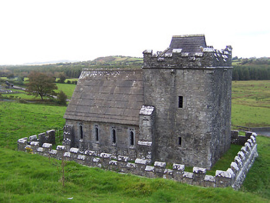 Greville-Nugent Mausoleummausoleum · 1548 yd
 European ashEuropean ash · 1655 yd
 St Feichin's MillHeritage attraction · 1679 yd
 Fore AbbeyHeritage attraction · 1.0 mi
 Christians Castle in ruinsCastle, unclassified · 1.1 mi
 IndicatedCastle, motte and bailey · 1.2 mi
 Ben of ForeMountain / peak · 1.6 mi
 Castle IslandIslet · 1.6 mi
 Silver FirSilver Fir · 3.0 mi