What is recorded here
Situated on a poorly drained SE-facing slope of rising ground in an upland area with a nearby enclosure (TN040-046001) 70m to the S. A low flat-topped mound (diam. 4.2m NE-SW; 4.4m E-W; H 0.45m) enclosed by a shallow water-logged fosse (Wth 2.4m; D 0.1m) with no evidence for an external bank.
Compiled by: Caimin O'Brien.
Date of upload: 22 September 2008
Ditch barrow, likely dating to the Early Bronze Age. Its construction reflects early mound-building traditions associated with funerary or ceremonial practices in upland landscapes.
The monument record does not grant public access. Check the route and ask the landowner before entering private land.
- What survives
- Recorded monument
Places near here
 Saint Patrick's National Schoolschool · 1563 yd
 Catholic Church of the Sacred Heartchurch/chapel · 1665 yd
 Templeougher (site of)Church · 1749 yd
 Fulacht fia in GarranakilkaFulacht fia · 1.4 mi
 Moher HillMountain / peak · 1.4 mi
 Site of Cashlauncreen CastleCastle, tower house · 1.7 mi
 KnockmaroeMountain / peak · 2.7 mi
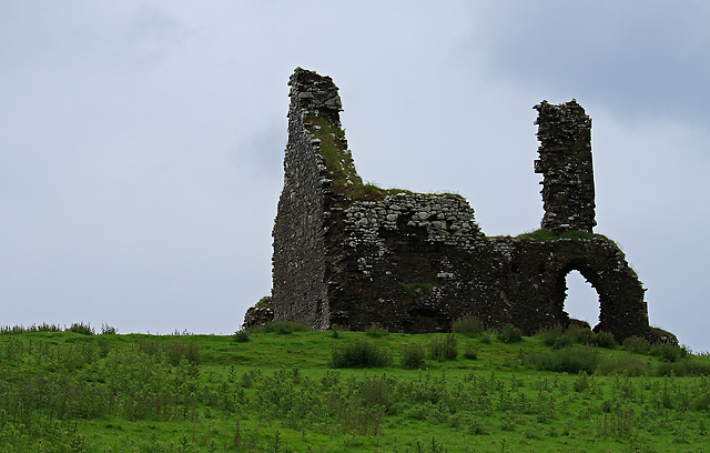 Bawn in Cullahill (glenkeen Par.)Bawn · 3.4 mi
 Killavalla WoodForest · 6.1 mi
 Gortard WoodForest · 9.3 mi
 Silvermines ViewpointViewpoint · 9.4 mi
 Our Lady Assumed into HeavenMemorial · 10 mi