What is recorded here
In reclaimed wet pasture, possible ditch-barrows (LI040-145001-/002-) lies 90m to the NW. Possible ditch-barrow (LI040-147002-) lies to the immediate E. Not marked on OSi historic maps. Possible site identified during examination of aerial photographs (BGE 1/10,000, 72) taken 03/11/1984 on Bórd Gáis Éireann gas pipeline. Monument visible as circular cropmark (diam. c. 9m) on Digital Globe orthoimage taken between 2011-13. Faint trace of monument visible on Google Earth orthoimage dated 19/03/2015.
See attached Google Earth orthoimages.
Compiled by: Fiona Rooney
Date of upload: 4 June 2021
Ditch barrow, likely dating to the Early Bronze Age. Its presence suggests a local funerary or ritual landscape, though its wider significance remains unclear due to limited recorded context.
The monument record does not grant public access. Check the route and ask the landowner before entering private land.
- What survives
- Recorded monument
Places near here
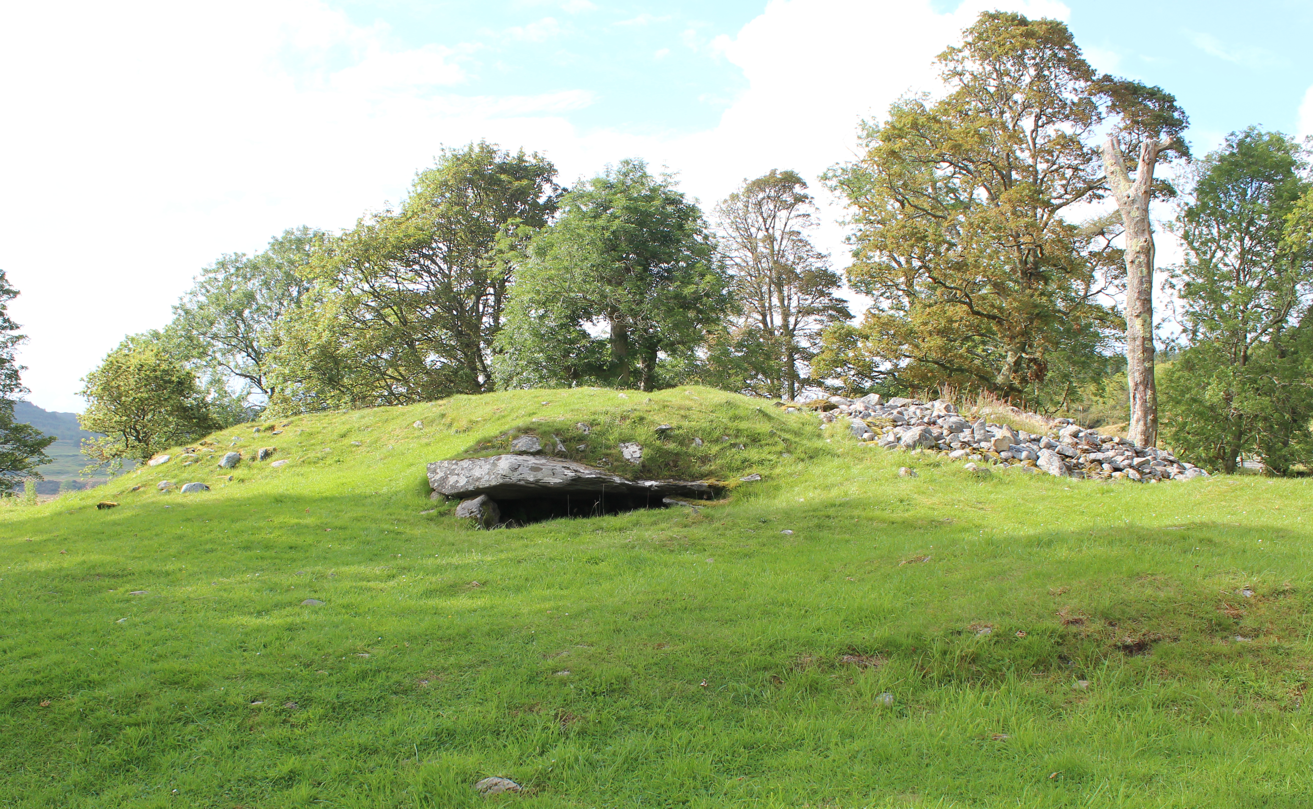 Burial mound in Knocklong WestBurial mound · 759 yd
 BarrowBarrow, unclassified · 774 yd
 Kiln in DoonmoonKiln · 1017 yd
 Church in BallynahinchChurch · 1233 yd
 Castle (in ruins)Castle, tower house · 1.1 mi
 St Patrick's WellSpring · 1.1 mi
 Mote - HachuredCastle, motte · 1.4 mi
 Edmund's WellSpring · 1.5 mi
 Ballinvreena LoopVisitor information · 2.6 mi
 Flat cemetery in Knockainy WestFlat cemetery · 3.2 mi
 SlievereaghMountain / peak · 3.6 mi
 Carn (site of)Cairn, burial cairn · 3.8 mi