What is recorded here
In reclaimed pasture, 300m E of townland boundary with Baggotstown East, two possible ditch-barrows (LI040-268001/002-) lie 40m and 6m respectively to the S. Not marked on OSi historic maps. Identified by the Bruff aerial photographic survey in 1986 (Bruff 129.3, AP 5/2073) as a circular cropmark of possible barrow. Possible ditch-barrow visible as a circular cropmark (diam. c. 2.5m) on Digital Globe orthoimage taken between 2011-13. Clearly visible on Google Earth orthoimage dated 25/03/2017.
See attached Bruff photograph labelled 129.03 and Google Earth orthoimages.
Compiled by: Fiona Rooney
Date of upload: 6 July 2021
Ditch barrow, likely dating to the Early Bronze Age. Its identification from aerial photographs highlights the importance of such methods in uncovering unrecorded prehistoric monuments.
The monument record does not grant public access. Check the route and ask the landowner before entering private land.
- What survives
- Recorded monument
Places near here
 BarrowBarrow, ditch barrow · 311 yd
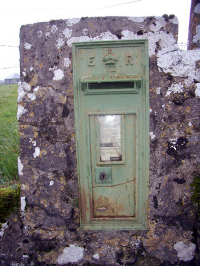 post boxpost box · 614 yd
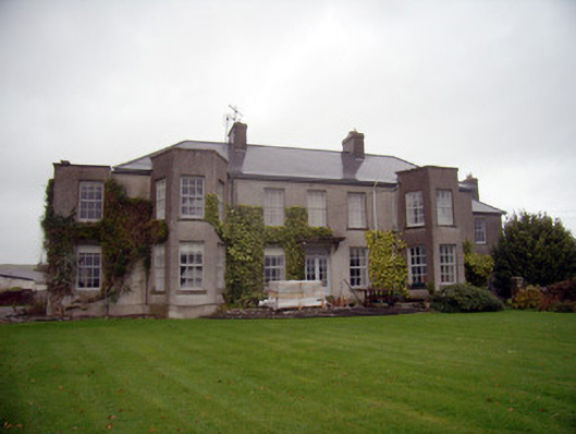 Knockainy Studcountry house · 620 yd
 Knockainy Castle (in ruins)Castle, tower house · 760 yd
 Desmond Castle (in ruins)Castle, unclassified · 990 yd
 KnockainyMountain / peak · 1040 yd
 Doonainy, HachuredMound · 1055 yd
 Flat cemetery in Knockainy WestFlat cemetery · 1697 yd
 Glen BogForest · 1.9 mi
 St Patrick's WellSpring · 4.2 mi
 Kilteely HillMountain / peak · 4.7 mi
 St. Patrick's WellSpring · 5.1 mi