What is recorded here
In reclaimed pasture, 54m W of a stream, 97m W of conifer plantation and 235m N of townland boundary with Garrison. At the N end of a line of barrows running N-S, ring-barrows (LI024-255----/-174002-) lie 40m E and 100m to SE. Not depicted on OS historical mapping. Identified by the Bruff aerial photographic survey in 1986 (Bruff 84; AP 4/3678) as a small circular-shaped area (approx. diam. 10m) defined by a fosse. Outline of possible ditch barrow visible on Digital Globe orthophoto taken 2011-2013 and Google Earth orthoimage taken 18/11/2018.
See attached Google Earth orthoimage and Bruff Survey aerial image labelled Bruff 84
Compiled by: Fiona Rooney
Date of upload: 24 July 2020
Ditch barrow, likely dating to the Early Bronze Age. It is part of a linear arrangement of barrows, suggesting a ritual or funerary landscape of regional significance.
The monument record does not grant public access. Check the route and ask the landowner before entering private land.
- What survives
- Recorded monument
Places near here
 Enclosure in KilduffEnclosure · 257 yd
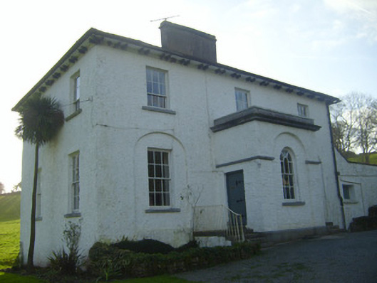 Moymore Houserectory/glebe/vicarage/curate's house · 674 yd
 Enclosure in Pallas (coonagh By.)Enclosure · 795 yd
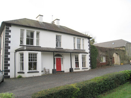 Mount Catherinehouse · 1045 yd
 Kilduff Castle (in ruins)Castle, tower house · 1325 yd
 Kilduff CastleCastle · 1326 yd
 ToberagaddySpring · 1377 yd
 KnockseefinMountain / peak · 1.0 mi
 St. Patrick's WellSpring · 3.2 mi
 Kilteely HillMountain / peak · 3.6 mi
 Flat cemetery in Knockainy WestFlat cemetery · 7.5 mi
 BarrowBarrow, ring-barrow · 798 yd