What is recorded here
Situated in pasture, 280m NW of the N shoreline of Lough Derravaragh. Cropmark of a small circular-shaped area (diam. c. 20m) defined by a ditch is visible on Digital Globe orthoimage taken between 2011-13. Possible cropmark of a ditch-barrow.
Compiled by: Caimin O'Brien based on details provided by Johnny Ryan, Archaeologist, Forestry Inspectorate (Forest Service), Department of Agriculture, Food and the Marine.
Date of upload: 8 Match 2023
Ditch barrow, likely dating to the Early Bronze Age. Its presence indicates a tradition of burial and ceremonial landscape use in the Lough Derravaragh area.
The monument record does not grant public access. Check the route and ask the landowner before entering private land.
- What survives
- Recorded monument
Places near here
 Settlement platform in DerryaSettlement platform · 316 yd
 OutlinedFairy fort / earthen ringfort · 512 yd
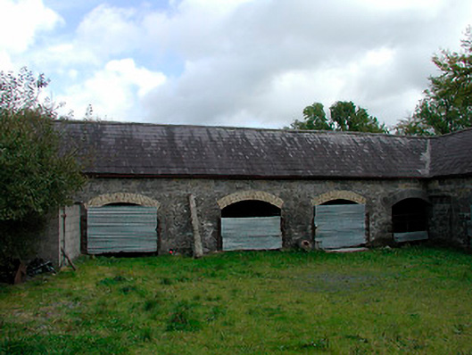 stablesstables · 613 yd
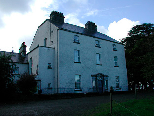 Coolure Housecountry house · 959 yd
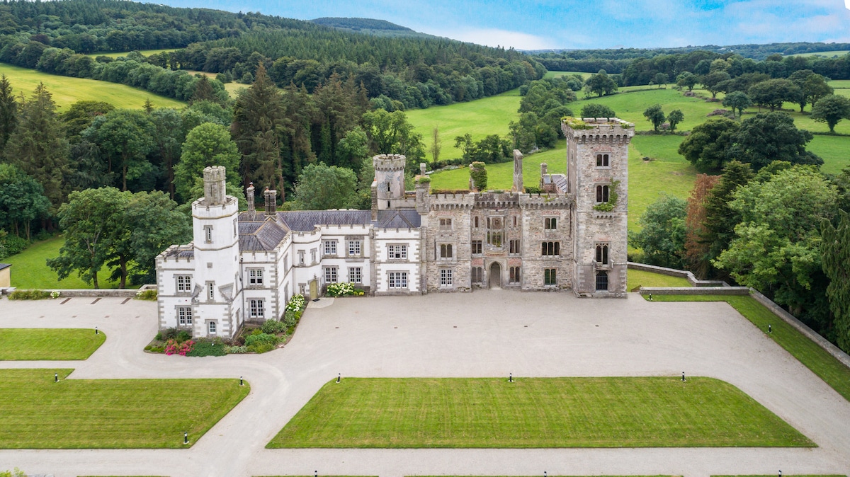 CastleCastle, tower house · 1.0 mi
 Bawn in KiltoomBawn · 1.9 mi
 European BeechEuropean Beech · 2.2 mi
 Pedunculate OakPedunculate Oak · 2.4 mi
 Bridge Memorial (Kenna)Memorial · 3.1 mi
 Rock of CurryCliff · 4.6 mi
 Seafin HillMountain / peak · 8.5 mi
 CarrickabaneMountain / peak · 9.0 mi