What is recorded here
Seven barrows cluster along the Little Curragh ridge, yet only shallow traces remain inside Barrow. The ditch is barely deep enough to hold rain, while mysterious circular marks scatter around it like abandoned footprints. People may have walked this ridge for centuries, reading shape and shadow instead of memory. What they knew has faded, leaving behind a thin line and a field of unexplained circles.
On top of the low, broad ridge which forms the spine of the Little Curragh and which also carries three other possible ditch-barrows; (KD022-083----) c. 45m to the SE, (KD022-081---- and KD022-082----) c. 140m to the ESE, a large ring-barrow (KD022-042----) c. 110m to the SE and a second large ring-barrow (KD022-043----) c. 200m to the ESE. A fourth ditch-barrow (KD022-080----) lies c. 190m to NE. Visible on an aerial photograph (DoD, 1999). A slightly raised circular area (diam. 7.4m) is defined by a very shallow fosse (Wth 1.4-1.7m; D 0.2m). A footpath track bisects the interior N-S. In the SE quadrant different vegetation growth forms a well defined a circular area (diam 1.8m) and six other examples of this occur immediately outside the monument E-S-W. Their origin, function and relationship with the barrow is unclear. (Similar circular features, but represented by very shallow depressions, occur at another ditch-barrow (KD022-074----) c. 685m to the NW.)
Compiled by: Gearóid Conroy
Date of upload: 10 June 2011
Ditch barrow, likely dating to the Early Bronze Age. Its location within a group of possible ditch-barrows suggests a ceremonial or funerary landscape of regional significance.
The monument record does not grant public access. Check the route and ask the landowner before entering private land.
- What survives
- Recorded monument
Places near here
 RatheenanairyArchaeological place · 147 yd
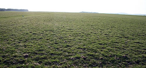 The CurraghEarthwork · 346 yd
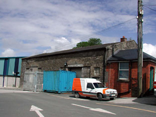 Kildare Railway Stationstore/warehouse · 1.4 mi
 The Bungalowhouse · 1.5 mi
 Pollardstown Fen Nature ReserveNature reserve · 1.6 mi
 Castle in ruinsCastle, Anglo-Norman masonry castle · 1.7 mi
 CastleCastle, motte · 1.7 mi
 Saint Fiachra's GardenHeritage attraction · 2.1 mi
 Bee-bee treeBee-bee tree · 2.2 mi
 Horse MuseumMuseum · 2.3 mi
 Bithia Mary CrokerMemorial · 5.8 mi
 Grand Canal WayVisitor information · 7.1 mi